
Quick answer
Groundwater and engineering ERT surveys use the same electrical-resistivity physics, but they do not ask the same question. A groundwater investigation may focus on hydrostratigraphy, freshwater-saline-water contrast, weathered or fractured zones, recharge, or monitoring. An engineering investigation may focus on fill, weathering, rockhead, karst, seepage, or lateral variability. Survey geometry, evidence needed, interpretation language, and confirmation actions must be designed for the decision—not copied from another application.
What the topic means
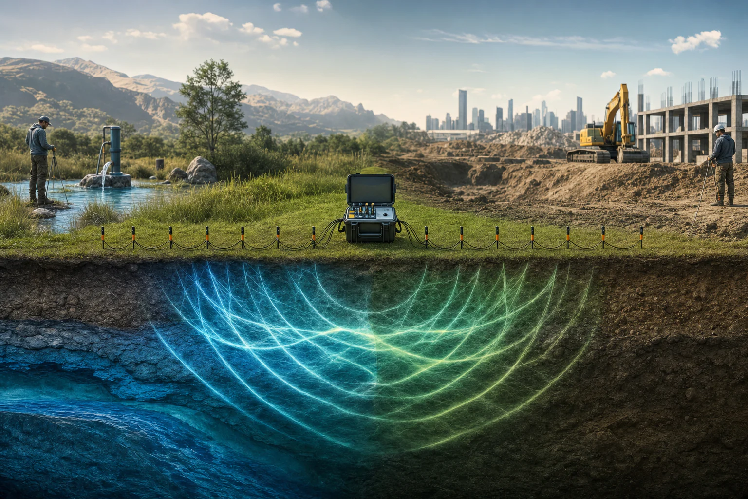
ERT detects how resistivity varies in the modeled subsurface. Those variations can be influenced by water content and chemistry as well as clay, porosity, weathering, mineralization, temperature, fractures, and cultural materials. The method does not change when the project objective changes; what changes is the target model, array and coverage design, calibration evidence, plausible alternatives, consequence of error, and the type of confirmation required.
When it may be relevant
- Groundwater screening where geology, structures, wells, springs, or salinity suggest a defensible electrical target.
- Engineering site characterization where subsurface contrasts between investigation points may affect foundations, slopes, excavations, or earthworks.
- Seepage or environmental investigations where a change in pore-fluid conductivity may influence resistivity.
- Time-lapse monitoring where repeatability and changing conditions can be controlled.
Useful information and inputs
- A clear decision statement: target-screening, borehole planning, correlation, monitoring, or another bounded purpose.
- Expected target size, depth, orientation, physical contrast, and acceptable uncertainty.
- Geology, boreholes, wells, water levels, chemistry, laboratory results, mapping, structures, earthworks, and design context.
- Line access, topography, utilities, metallic infrastructure, power sources, fences, roads, vegetation, and safety constraints.
- The required follow-up: drilling, sampling, hydraulic testing, geotechnical testing, exposure mapping, or monitoring.
How the method or assessment generally works
The team develops a conceptual target model and tests whether ERT can respond to it at the required scale. Electrode spacing, array, line orientation, line length, topographic survey, and quality controls are selected accordingly. Field data are acquired, checked, and inverted with documented parameters. The model is evaluated using data quality, observed-versus-calculated behavior, coverage or sensitivity, topography, and alternative inversions or constraints where material.
Interpretation then separates the observed electrical geometry from its possible groundwater or engineering meanings. Project evidence is overlaid, and areas for confirmation are prioritized based on decision consequence and uncertainty.
Typical outputs
- Decision-specific survey design and coverage plan.
- Inverted resistivity sections with data-quality and coverage context.
- Groundwater-oriented or engineering-oriented interpretation overlays using bounded language.
- Alternative explanations and evidence-for/evidence-against notes.
- Targeted borehole, sampling, test-pit, pumping-test, monitoring, or construction-verification priorities.
How the outputs should be interpreted
In groundwater work, a conductive zone may relate to saturation, salinity, clay, or combinations of these; it is not automatically an aquifer. A resistive zone may be dry material, coarse deposits, competent rock, a void, or another condition. In engineering work, resistivity does not directly provide bearing capacity, strength, settlement, or stability. The interpretation should remain tied to the named target, alternative causes, evidence coverage, and the confirmation needed for the next decision.
QA/QC and evidence checks
- Use project-specific calibration; do not import one site’s resistivity thresholds into another project.
- Check geometry, positioning, units, topography, electrode contact, repeats, exclusions, residuals, and cultural interference.
- Review whether the line orientation and spacing can resolve the expected target and whether two-dimensional assumptions are reasonable.
- Separate data confidence, interpretive confidence, and decision priority.
- Cross-check line IDs, chainage, depth or elevation, color scale, terminology, and anomalies across sections, tables, and narrative.
Limitations and common misunderstandings
The method responds to bulk electrical properties and inversion is non-unique. Depth and resolution are not uniform across a section. Three-dimensional conditions can distort a two-dimensional model. A groundwater target ranked from ERT is not a yield prediction. An engineering anomaly is not a design parameter or defect confirmation. A low numerical misfit can coexist with an incorrect conceptual explanation.
What may be needed for confirmation
Groundwater decisions may require drilling, lithologic and borehole logging, water levels, step and constant-rate pumping tests, recovery, quality sampling, and monitoring. Engineering decisions may require boreholes, SPT or CPT, test pits, core logging, laboratory testing, groundwater observations, exposure mapping, proof testing, or construction-stage inspection. The confirmation program should be chosen by the decision owner.
What to prepare before contacting HydroGeo
- The decision and why an electrical contrast is expected to be informative.
- Target depth and scale, available survey corridors, and site constraints.
- Existing groundwater, geological, geotechnical, laboratory, monitoring, and design records.
- The planned confirmation method and the project stage at which the ERT result will be used.
Project-planning reference
Evidence table and decision graph
Use these source-derived summaries to organize an enquiry and identify useful records. They are general guidance, not project data or a substitute for site-specific professional review.
Same resistivity evidence, different decision paths
| Decision context | Possible ERT contribution | Independent evidence | Conclusion ERT cannot make alone |
|---|---|---|---|
| Groundwater occurrence | Map contrasts potentially associated with weathering, fractures, saturation or salinity | Geology, wells, water levels, drilling and borehole logs | A productive aquifer is present |
| Well planning | Prioritize locations where a testable target may exist | Access, drilling records, logging, development and pumping/recovery | Required depth, yield or sustainable abstraction |
| Engineering ground conditions | Screen lateral changes, fill, weathering, rockhead or possible void-related contrasts | Borings, test pits, samples, in-situ tests and laboratory results | Strength, stiffness, bearing capacity or stability |
| Seepage or contamination | Track conductive/resistive patterns or repeat-survey change | Hydraulic gradients, chemistry, sampling and monitoring | Fluid identity, concentration or flow rate |
On a small screen, swipe the table sideways to review every column.
Source-derived relationship
One physical property, two confirmation branches
A four-stage graph showing resistivity acquisition, model interpretation, project-question branching, and independent confirmation.
- Resistivity dataSurface electrical response and geometry
- Inverted modelBounded resistive and conductive patterns
- Question branchGroundwater pathway or engineering-ground pathway
- ConfirmationHydraulic evidence or geotechnical/intrusive evidence
Source basis and use boundary
Resistivity values do not have universal groundwater or engineering meanings. The same response can arise from different materials, fluids, structures and cultural effects.
- U.S. EPA — Electrical ResistivityElectrical measurements, apparent resistivity, inversion, depth and resolution controls, non-uniqueness, and material-property influences.
- USGS — Application of Surface Geophysics to Ground-Water InvestigationsRole of surface geophysical measurements in groundwater investigation and the need to relate physical-property responses to hydrogeologic evidence.
Primary sources reviewed 2 September 2026. Recheck the linked source and applicable project criteria before relying on current requirements.