Environmental, geophysical & geotechnical consultancy

Ground intelligence for decisions that hold up.

HydroGeo Envi-Consultancy Services delivers science-driven investigation, assessment, and technical direction for civil, mining, renewable energy, water, and environmental projects.

Integrated
Ground, water & spatial evidence
Traceable
Methods, assumptions & limitations
Decision-ready
Clear findings & next actions
Field-to-subsurface modelHG / 02
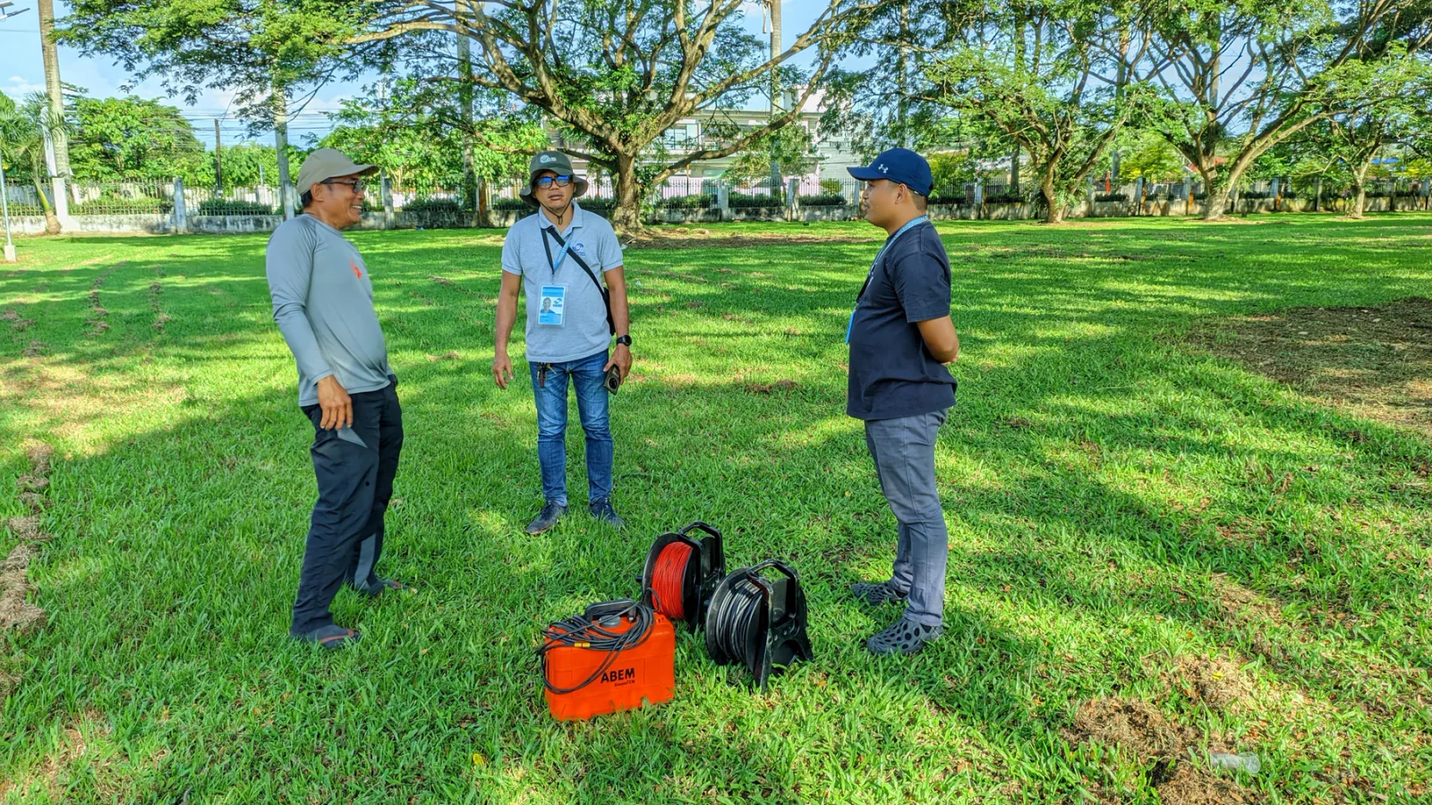
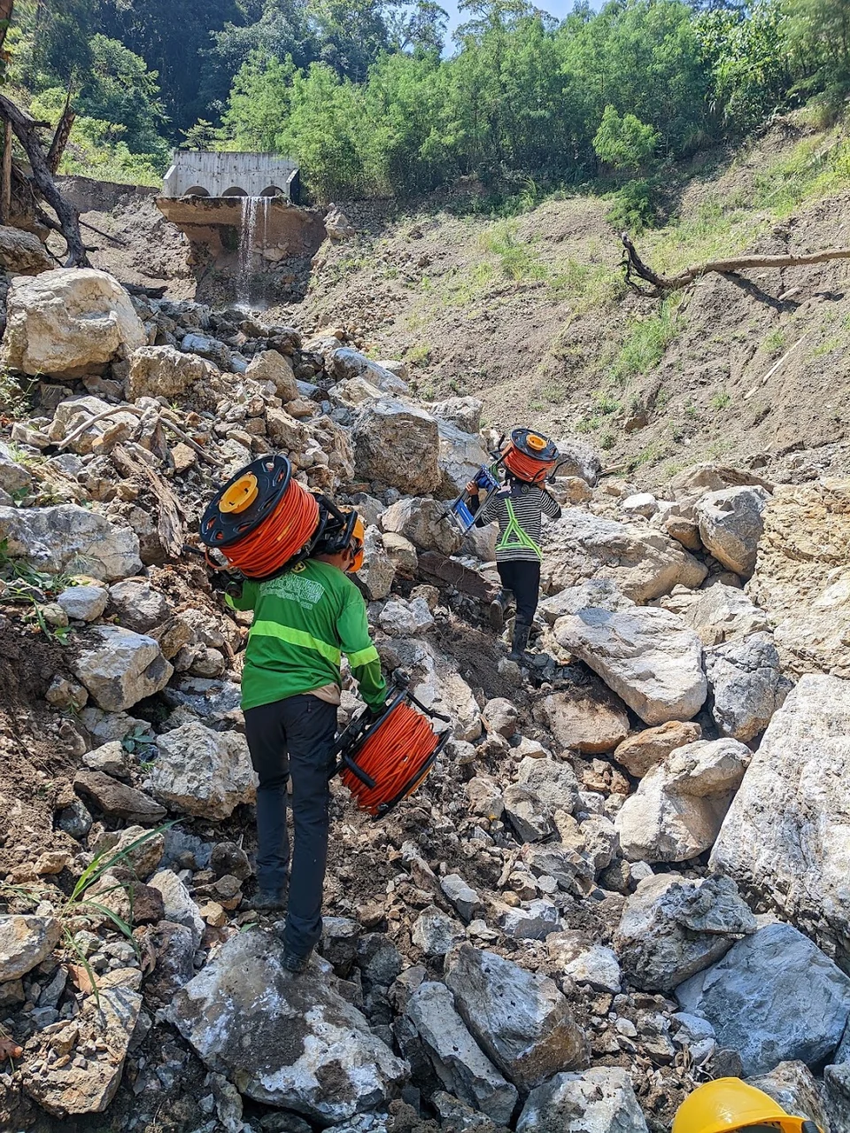
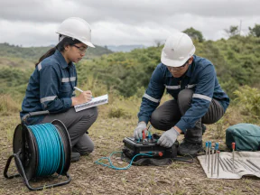
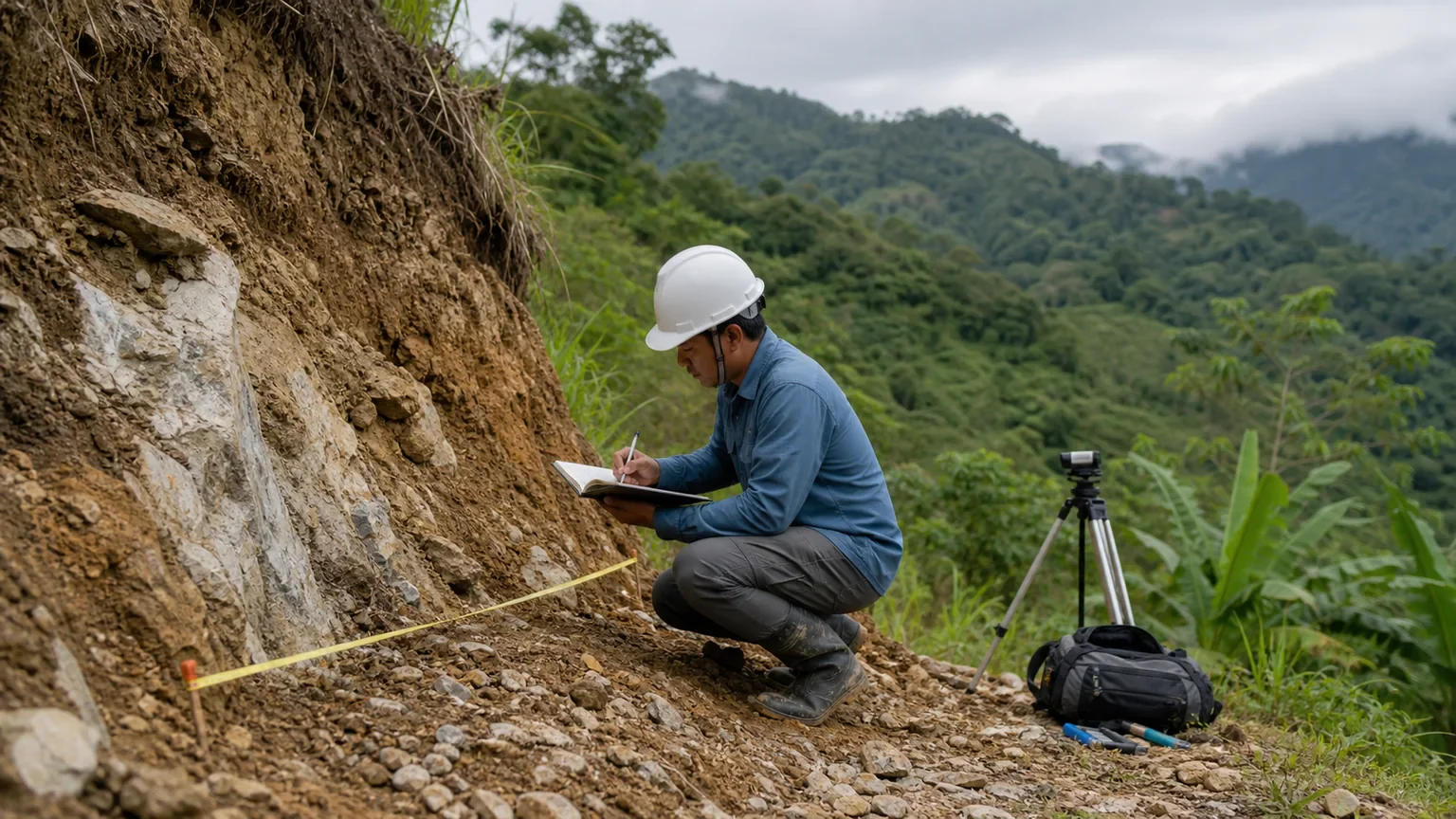
HydroGeo personnel preparing ABEM electrical resistivity equipment during field testing
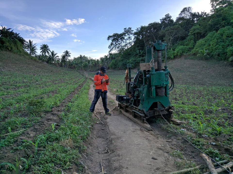
Actual HydroGeo field testing
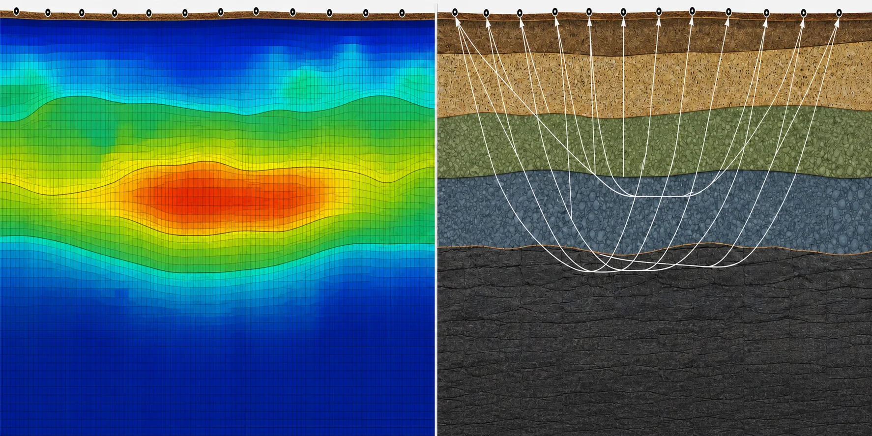
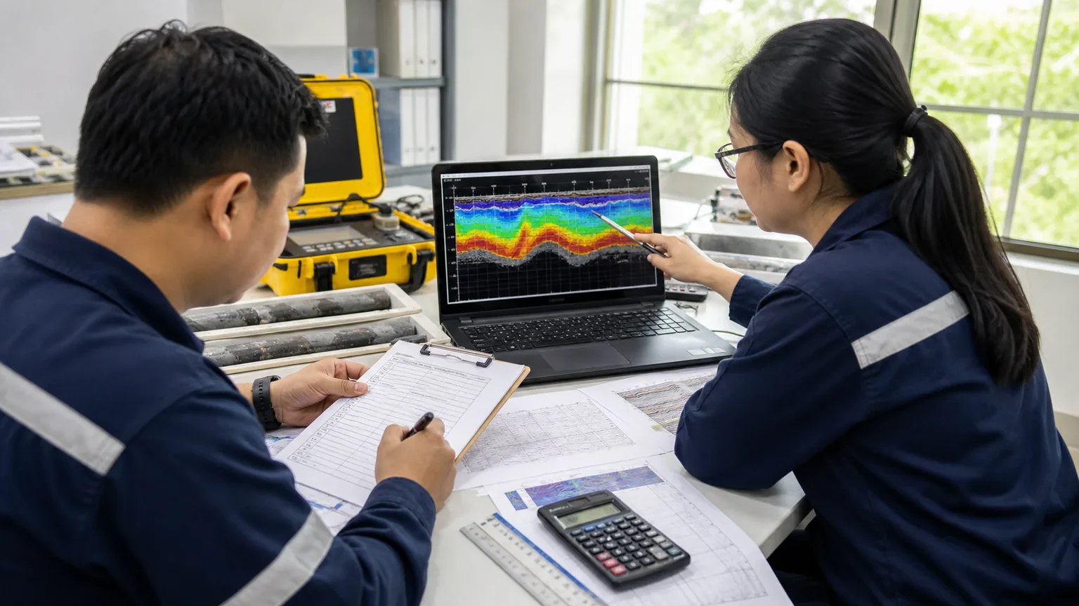
AI-generated side-by-side conceptual section showing the same nearly level ground profile through an ERT resistivity lens on the left and a seismic ray-path lens on the right
AI-generated conceptual section
Actual field photograph aboveCongruent ERT and seismic lenses below - illustrative only, not measured project data

Site evidence

Integrated interpretation

Defensible direction

Report-ready delivery

01 / About HydroGeo

One technical practice. A connected view of the site.

Established in 2023, HydroGeo supports environmental, civil, mining, infrastructure, and renewable-energy work through integrated geoscience and engineering services.

The practice is led by PRC-licensed geologist Lloyd Kenneth Calapan and combines field investigation, laboratory and geophysical evidence, terrain intelligence, and regulatory support. The company profile records BIR and SEC registration.

2023
Year established
31
Completed projects documented in the April 2026 profile
PRC-led
Licensed geoscience leadership
Malaybalay
City base in the Philippines

02 / People & organization

Technical leadership with the right support around each project.

HydroGeo is led by its proprietor and assembles the field, engineering, review, and laboratory support required by each assignment. Names, roles, and portraits below follow the April 2026 company profile.

Personnel & functional organization chart

Swipe or scroll through functions

Profile portrait of Lloyd Kenneth CalapanProprietor

Owner / Sole Proprietor

Lloyd Kenneth Calapan

Principal Consultant / Technical Lead

  • Overall management
  • Client coordination
  • Technical supervision
  • Data processing
  • Technical analysis
  • Engineering-geologic correlation
  • GIS / spatial analysis
  • Report generation
A

Geophysical testing team

Field acquisition, equipment operation, processing, and technical interpretation.

Profile portrait of Lloyd Kenneth Calapan

Lloyd Kenneth Calapan

Technical Lead

  • Field supervision
  • Data processing
  • Interpretation
Profile portrait of Melven Tampus

Melven Tampus

Field Associate / Equipment Operator

  • Equipment operation
  • Survey assistance
  • Field data acquisition support
B

Soil testing / drilling support

Project-based field drilling and sample-acquisition support.

Profile portrait of Jonel Dalona

Jonel Dalona

Field Driller

  • Soil testing support
  • Borehole drilling
  • On-call drilling support
Profile portrait of John T. Shoon

John T. Shoon

Field Driller

  • Soil testing support
  • Borehole drilling
  • On-call drilling support
C

Hydrologic & stormwater support

Hydrologic, drainage, runoff, and stormwater assessment support.

Profile portrait of Engr. Bellelyn Cabresos

Engr. Bellelyn Cabresos

Civil Engineer / Hydrologist

  • Hydrologic assessment
  • Stormwater evaluation
  • Drainage analysis
  • Runoff and hydraulic assessment
  • Technical advisory support
D

Geotechnical understanding & interpretation

Specialist interpretation, technical validation, and report review.

Profile portrait of Dr. Einstine Opiso

Dr. Einstine Opiso

Co-Technical Lead / Report Reviewer

  • Geotechnical interpretation review
  • Technical validation
  • Report review
  • Specialist advisory support
E

Laboratory testing support

Preferred external laboratory support engaged as project requirements demand.

Allied Material Testing Laboratories

Preferred Testing Laboratory

  • Soil testing
  • Rock testing
  • Materials testing
  • Sample testing support as required

Source: HydroGeo Company Profile, April 2026. Portraits and role descriptions are reproduced or condensed from the personnel and functional organization pages.

03 / Core expertise

From subsurface evidence to technical action.

Services are shaped around the project question, evidence base, required confidence, and appropriate engineering review.

01

Environmental & hazard assessment

Environmental work programs, ECC prerequisites, multi-hazard assessment, EGGAR support, and post-hazard analysis for practical risk decisions.

  • EGGAR
  • Hazard mapping
  • Environmental compliance
02

Geophysical investigation

Electrical resistivity tomography, MASW, ground penetrating radar, and integrated subsurface interpretation for civil, mining, and environmental applications.

  • ERT
  • MASW
  • GPR
03

Geotechnical & geologic services

Soil and rock testing, site characterization, engineering-geologic correlation, and foundation or slope stability evaluation.

  • Soil & rock
  • Slope stability
  • Ground models
04

Hydrology & groundwater

Groundwater exploration, water-level assessment, hydrologic studies, grout detection, and technical support for water-resource decisions.

  • Groundwater
  • Hydrology
  • NWRB assistance
05

LiDAR, GIS & remote sensing

LiDAR topographic mapping, terrain analysis, remote sensing, spatial correlation, and GIS deliverables with clear coordinate context.

  • LiDAR
  • Terrain indices
  • GIS
06

Permitting & subsurface mapping

CSAG and ISAG permitting support, subsurface utility detection, and structured technical documentation for mining and civil works.

  • CSAG / ISAG
  • Utility detection
  • Technical reporting

04 / Projects delivered

Completed projects, presented with discretion.

The complete 31-entry project register from the April 2026 company profile, published with only the commissioning sector and broad service category.

Completed project register / 31 entries

Swipe or scroll to explore

01

Government

Municipal landfill and environmental support

Scope
Site reconnaissance, multi-hazard mapping, and slope-stability simulation.
Purpose
Screen moisture and potential void conditions beneath waste cells.
Delivered
Planning inputs for leachate drainage and engineered-cap grounding.
02

Private

Industrial facility ground-condition assessment

Scope
Site reconnaissance, multi-hazard mapping, and slope-stability simulation.
Purpose
Verify foundation-bearing conditions beneath treatment tanks.
Delivered
Pad-reinforcement and earthing-grid layout inputs.
03

Government

Urban multi-hazard and subsurface assessment

Scope
2D ERT, LiDAR terrain analysis, reconnaissance, and slope-stability simulation.
Purpose
Differentiate shallow water-bearing and clay-prone ground conditions and assess slope hazards.
Delivered
Piezometer siting, slope-mitigation, and hazard-delineation inputs.
04

Government

Urban detention-pond assessment

Scope
Electrical resistivity testing, rainfall IDF modelling, and detention-pond adequacy analysis.
Purpose
Assess infiltration performance near the pond footprint.
Delivered
Underdrain, filter-media, and flood-inundation analysis inputs.
05

Private

Hillside multi-hazard and subsurface assessment

Scope
2D ERT, LiDAR terrain analysis, reconnaissance, and slope-stability simulation.
Purpose
Characterise perched-water and landslide-prone terrain with geotechnical correlation.
Delivered
Drainage, foundation, slope-stability, and stormwater-management inputs.
06

Private

Underground-works drainage assessment

Scope
Geotechnical testing, geologic mapping, 2D ERT, and magnetotelluric correlation.
Purpose
Identify over-consolidated ground and potential drainage paths.
Delivered
Tunnel-drainage spacing and support-refinement inputs.
07

Private

Agricultural groundwater exploration

Scope
Schlumberger georesistivity profiling.
Purpose
Delineate possible perched aquifer lenses.
Delivered
Communal-borehole, infiltration-gallery, and groundwater-extraction planning inputs.
08

Private

Residential-development groundwater exploration

Scope
Schlumberger georesistivity profiling.
Purpose
Delineate possible perched aquifer lenses.
Delivered
Communal-borehole, infiltration-gallery, and groundwater-extraction planning inputs.
09

Government

Community groundwater assessment

Scope
Schlumberger georesistivity profiling.
Purpose
Delineate possible perched aquifer lenses.
Delivered
Communal-borehole, infiltration-gallery, and groundwater-extraction planning inputs.
10

Private

Slope protection and ground-condition verification

Scope
2D ERT, LiDAR terrain analysis, reconnaissance, multi-hazard mapping, and slope-stability simulation.
Purpose
Detect shallow conduits and ground-condition heterogeneities.
Delivered
Subgrade improvement, drainage-blanket, and slope-design verification inputs.
11

Government

Slope stability and protection assessment

Scope
Borehole investigation and slope-stability analysis.
Purpose
Assess potential subsurface slip surfaces and related hazards.
Delivered
Soil-nail and earth-anchor engineering inputs.
12

Government

Public water-supply groundwater investigation

Scope
Electrical resistivity surveying with Schlumberger, gradient, and Wenner arrays.
Purpose
Locate high-yield fracture zones.
Delivered
Production-borehole siting and packer-test planning inputs.
13

Government

Public-road drainage and slope investigation

Scope
2D electrical resistivity tomography.
Purpose
Map buried utilities, installed elements, and potential slide planes.
Delivered
Utility-routing, failure-mode, and stabilization-planning inputs.
14

Private

Urban development hazard assessment

Scope
Site reconnaissance, hazard mapping, and slope-stability simulation.
Purpose
Define a representative shear-wave velocity profile.
Delivered
Safety-model calibration and retaining-structure planning inputs.
15

Private

Residential development hazard and subsurface assessment

Scope
2D ERT and GIS correlation.
Purpose
Relate subsurface-resistivity patterns to identified hazards.
Delivered
Zoning-setback and drainage-network planning inputs.
16

Government

Public-road slope and ground-condition assessment

Scope
Multichannel analysis of surface waves.
Purpose
Characterise slope shear stiffness and failure extent.
Delivered
Reinforcement and cut-slope geometry inputs.
17

Private

Residential site characterization

Scope
MASW with borehole correlation.
Purpose
Assess shear-wave velocity for settlement evaluation.
Delivered
Foundation selection and bearing-capacity inputs.
18

Private

Residential development multi-hazard assessment

Scope
Site reconnaissance, multi-hazard mapping, and slope-stability simulation.
Purpose
Integrate flood, landslide, and subsurface evidence.
Delivered
Pad-siting and mitigation-priority inputs.
19

Private

Mining tailings facility assessment

Scope
Electrical resistivity tomography and sampling.
Purpose
Map tailings-density conditions and the phreatic surface.
Delivered
Slope-stabilisation and underdrain-layout calibration inputs.
20

Private

Residential utility-detection survey

Scope
Ground-penetrating radar survey.
Purpose
Detect subsurface utilities and potential voided backfill.
Delivered
Utility-delineation outputs.
21

Private

Hydropower site subsurface assessment

Scope
Electrical resistivity survey and stability testing.
Purpose
Assess moisture pathways and potential slip-plane conditions.
Delivered
Ground-resistivity delineation for engineering assessment.
22

Private

Underground-works rock-condition assessment

Scope
Rock-mass classification, water-inflow assessment, laboratory rock testing, magnetotellurics, and lineament correlation.
Purpose
Characterise wall rock and tunnel-boring risk.
Delivered
Construction risk-catalogue and planning inputs for scope, safety, methodology, and cost.
23

Government

River-basin water-resources assessment

Scope
Vertical electrical sounding using transient electromagnetics.
Purpose
Assess and characterise groundwater-level conditions.
Delivered
Water-resource condition, vulnerability, and sustainability assessment inputs.
24

Government

Community groundwater exploration

Scope
Vertical electrical sounding using transient electromagnetics.
Purpose
Assess and characterise groundwater-level conditions.
Delivered
Groundwater-extraction feasibility inputs.
25

Government

Road-corridor ground-condition assessment

Scope
Multichannel analysis of surface waves.
Purpose
Assess shear-wave velocity distribution and possible road-slope failure conditions.
Delivered
Foundation, bearing-capacity, vulnerability, and slope-stability assessment inputs.
26

Government

Municipal landfill engineering assessment

Scope
Site reconnaissance, multi-hazard mapping, and slope-stability simulation.
Purpose
Screen moisture and potential void conditions beneath waste cells.
Delivered
Planning inputs for leachate drainage and engineered-cap grounding.
27

Government

Municipal landfill engineering support

Scope
2D ERT, terrain-index derivatives, and geotechnical drilling.
Purpose
Determine overall hazard conditions and mitigation considerations.
Delivered
Maximum height and additional-cell extent determination inputs.
28

Government

Road-collapse ground-condition assessment

Scope
2D ERT, terrain-index derivatives, and geotechnical drilling.
Purpose
Assess groundwater conditions, potential weak zones, and correlation with soil-test results.
Delivered
Current-condition, vulnerability, and differential-settlement assessment inputs.
29

Private

Hydropower conveyance foundation assessment

Scope
2D ERT, terrain-index derivatives, and geotechnical drilling.
Purpose
Assess groundwater conditions, potential weak zones, and correlation with soil and core data.
Delivered
Current-condition, vulnerability, differential-settlement, and shallow-slope-instability assessment inputs.
30

Private

Tailings-facility geotechnical assessment

Scope
2D ERT and GIS terrain-index analysis from LiDAR post-processing.
Purpose
Identify possible weak zones, saturation pathways, and surface-to-subsurface permeability connections.
Delivered
Foundation, bearing, seepage-pathway, and slope-stability assessment inputs.
31

Private

Residential development subsurface assessment

Scope
2D ERT, terrain-index derivatives, and geotechnical drilling.
Purpose
Identify potential weak zones, saturation pathways, and surface-to-subsurface permeability connections.
Delivered
Foundation, bearing, seepage-pathway, and slope-stability assessment inputs.

Work archive

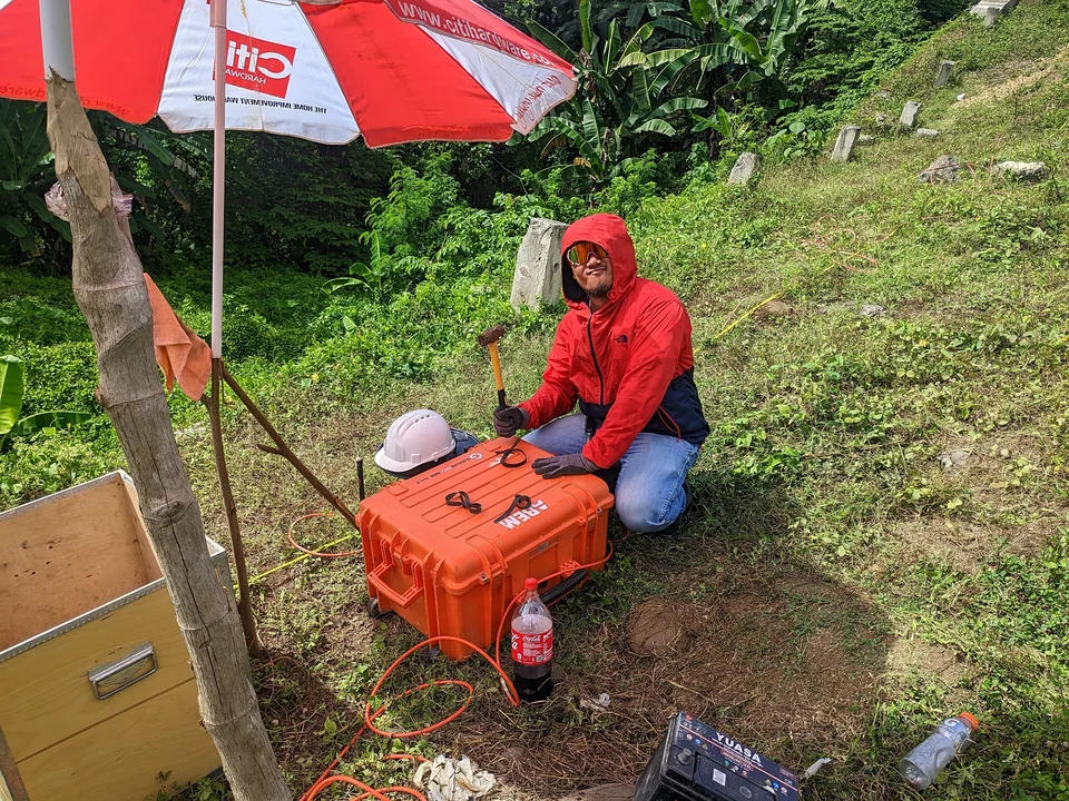
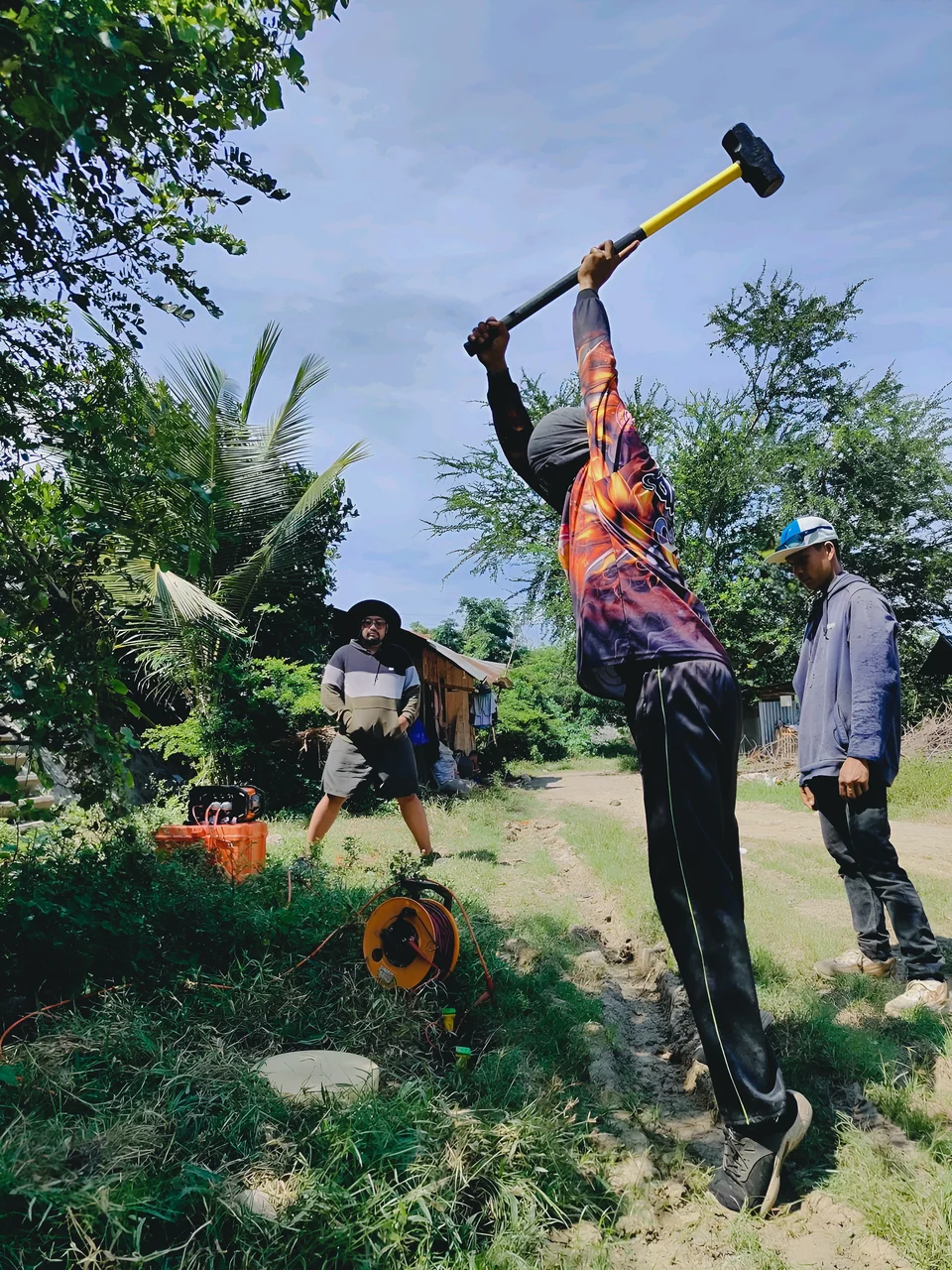
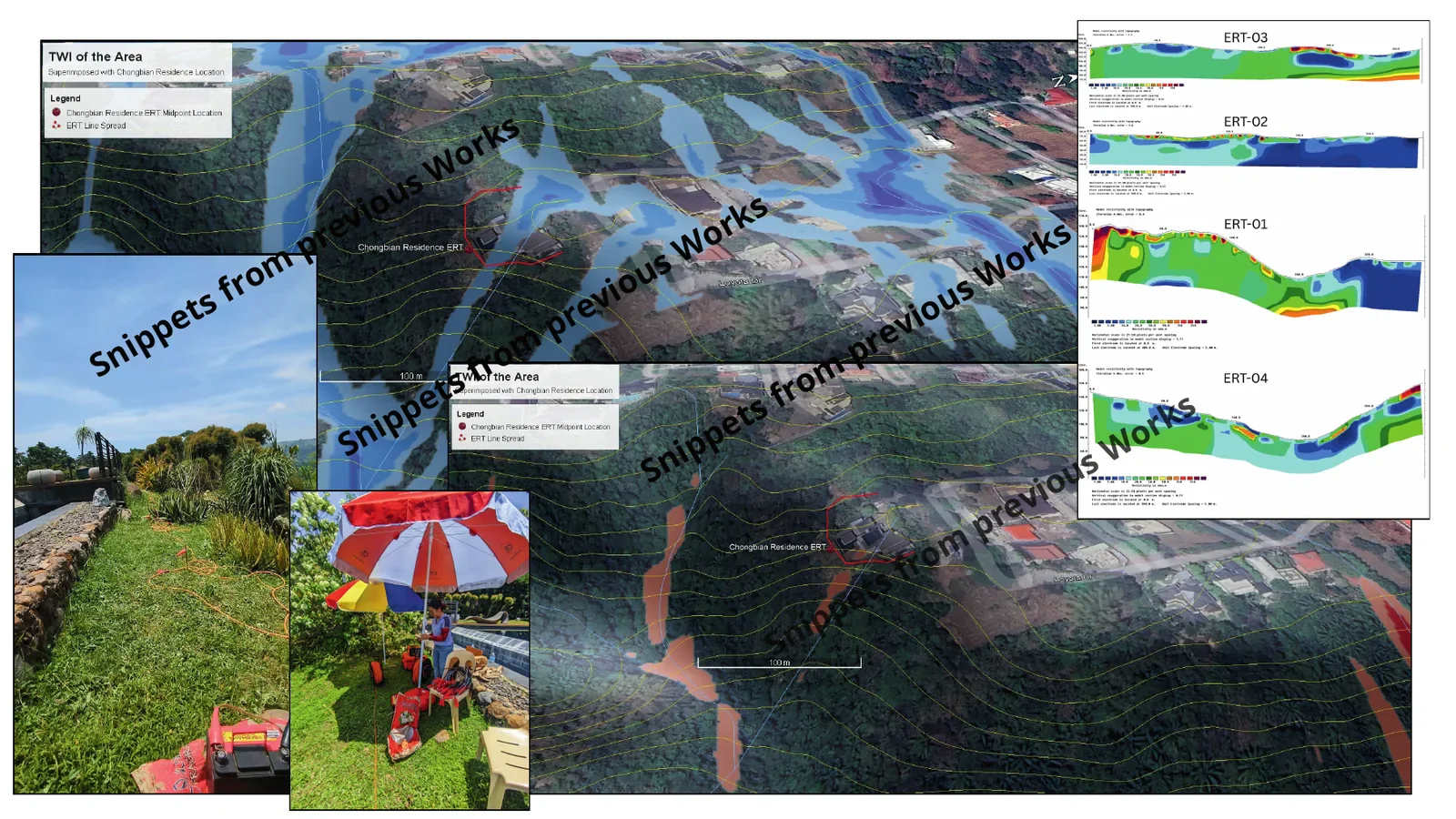
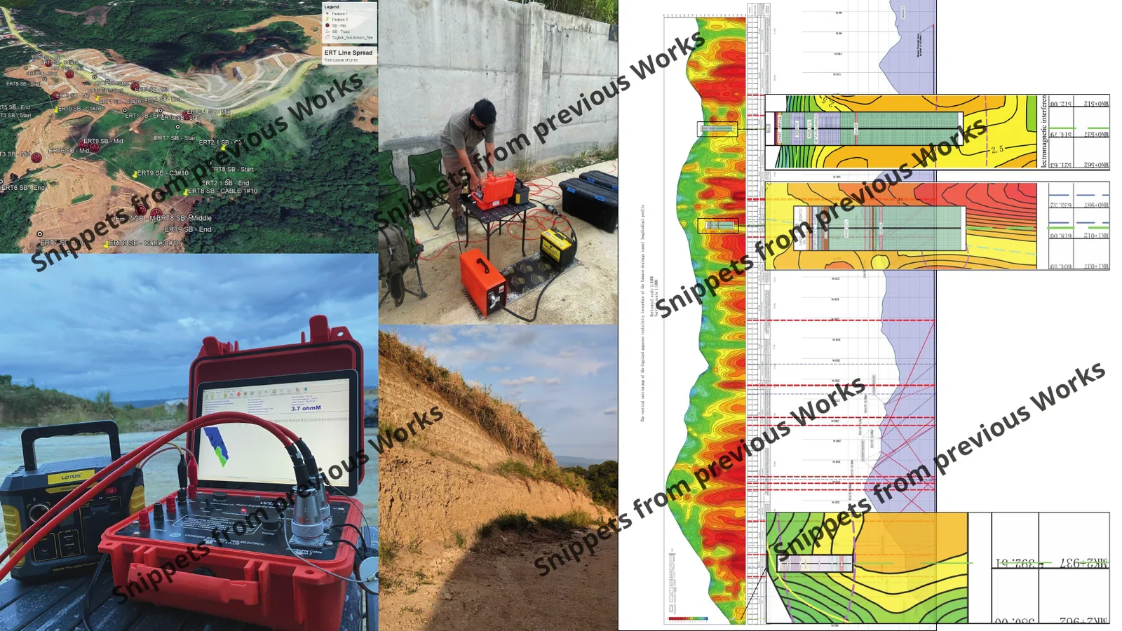
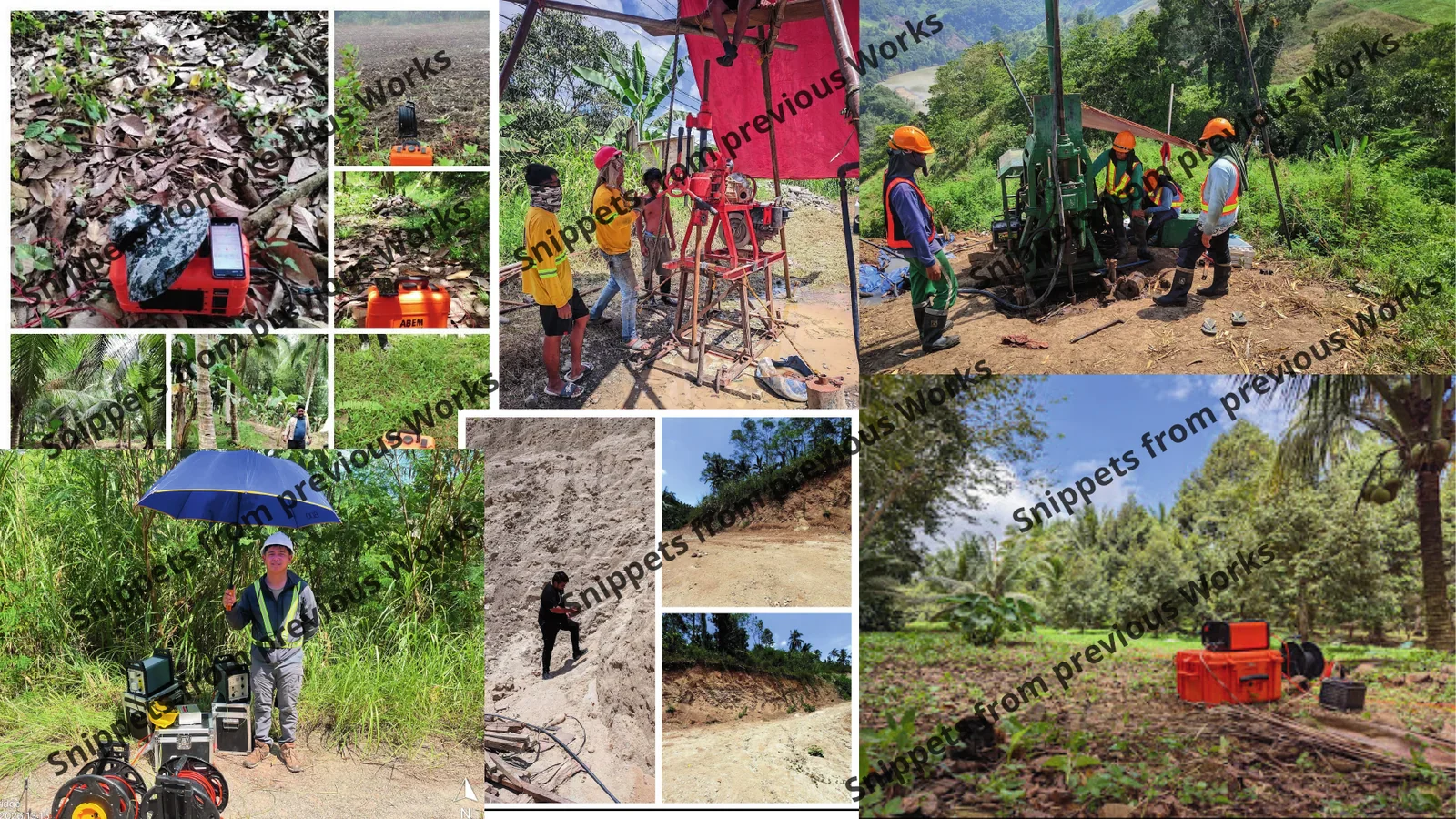
Snippets from previous works

Representative field and technical-output excerpts reproduced from the HydroGeo company profile.

Field & technical imagery

Swipe or scroll to view

Source: HydroGeo Company Profile, April 2026. Scope, purpose, and delivered-output summaries are anonymized; client and location identifiers remain withheld.

05 / How we work

Technical clarity at every handoff.

A disciplined sequence keeps scope, evidence, uncertainty, and the required decision connected from the beginning.

  1. 01

    Frame the decision

    Define the site question, required confidence, available evidence, constraints, and professional review points.

  2. 02

    Build the evidence

    Plan or organize field, laboratory, spatial, and project information with quality and provenance kept visible.

  3. 03

    Integrate the ground story

    Connect geology, groundwater, geotechnics, and geophysics without hiding uncertainty or alternative explanations.

  4. 04

    Deliver the next action

    Translate findings into clear technical outputs, limitations, priorities, and decision-ready reporting.

06 / HydroGeo Innovations

Engineering knowledge, built into better systems.

The HydroGeo Innovations product suite turns repeatable technical methods into focused tools that help teams work with greater consistency, transparency, and control.

HydroGeo Innovations

Product suite / HG-I
01

Technical workstations

Focused environments for structured data review, QA, analysis, visualization, and repeatable project workflows.

02

Decision dashboards

Readable interfaces that bring risk, readiness, evidence, and project status into one controlled view.

03

Reporting systems

Traceable exports and report-ready outputs designed for technical review, handover, and practical downstream use.

07 / What clients can expect

Work that is readable, reviewable, and built to travel.

01

Evidence before assertion

Observations, assumptions, interpretations, and limitations stay distinguishable.

02

Quality made visible

QA/QC, data gaps, confidence, and required follow-up are communicated clearly.

03

Outputs made usable

Maps, figures, reports, registers, and tools are structured for practical downstream use.

08 / A more useful first brief

Clear project inputs help people and AI assistants ask better questions.

A concise brief gives HydroGeo the context needed to frame the next investigation or technical support step. It supports a faster first conversation without substituting automated advice for professional review.

Send a project brief
  1. 01

    Project location

    Site name, municipality or coordinates, plus any access or terrain context that may affect field work.

  2. 02

    Decision to support

    The question that needs resolving, such as a foundation, slope, groundwater, drainage, environmental, or subsurface concern.

  3. 03

    Available evidence

    Relevant plans, borehole logs, reports, photographs, site plans, survey data, or previous investigation records.

  4. 04

    Project conditions

    Current stage, decision date, site constraints, and the level of technical confidence the next step needs to achieve.

FAQ / Scope and evidence

Answers that are readable by visitors and systems.

What does HydroGeo need to start a project discussion?
A project location, the decision or uncertainty to be resolved, available reports or drawings, the current project stage, and material site or schedule constraints.
What technical services does HydroGeo provide?
HydroGeo provides environmental and hazard assessment, geophysical investigation, geotechnical and geologic services, hydrology and groundwater work, LiDAR and GIS support, permitting support, and subsurface mapping.
How should website project examples and conceptual sections be used?
They show the types of work delivered and the role of integrated interpretation. They are not substitutes for site-specific investigation, measured data, or professionally reviewed engineering conclusions.

Start a project conversation

Bring the site question. We will help define the next defensible step.

Share the project location, current stage, available reports or drawings, and the risk or uncertainty that needs to be resolved.

HydroGeo Envi-Consultancy Services

lloydkennethcalapan@gmail.com+63 961 605 4355Malaybalay City, Philippines
Company-profile contact details, verified April 2026