Published by HydroGeo Envi-Consultancy Services. Content updated .
Quick answer
Geophysical surveys measure physical responses—such as electrical, electromagnetic, seismic, magnetic, or gravity behavior—and infer a subsurface model from them. Because different ground conditions can produce similar responses, the interpretation is rarely unique. Boreholes, test pits, samples, laboratory results, pumping tests, monitoring, mapping, or construction exposures are used to test which explanation best fits the site and the decision.
What the topic means
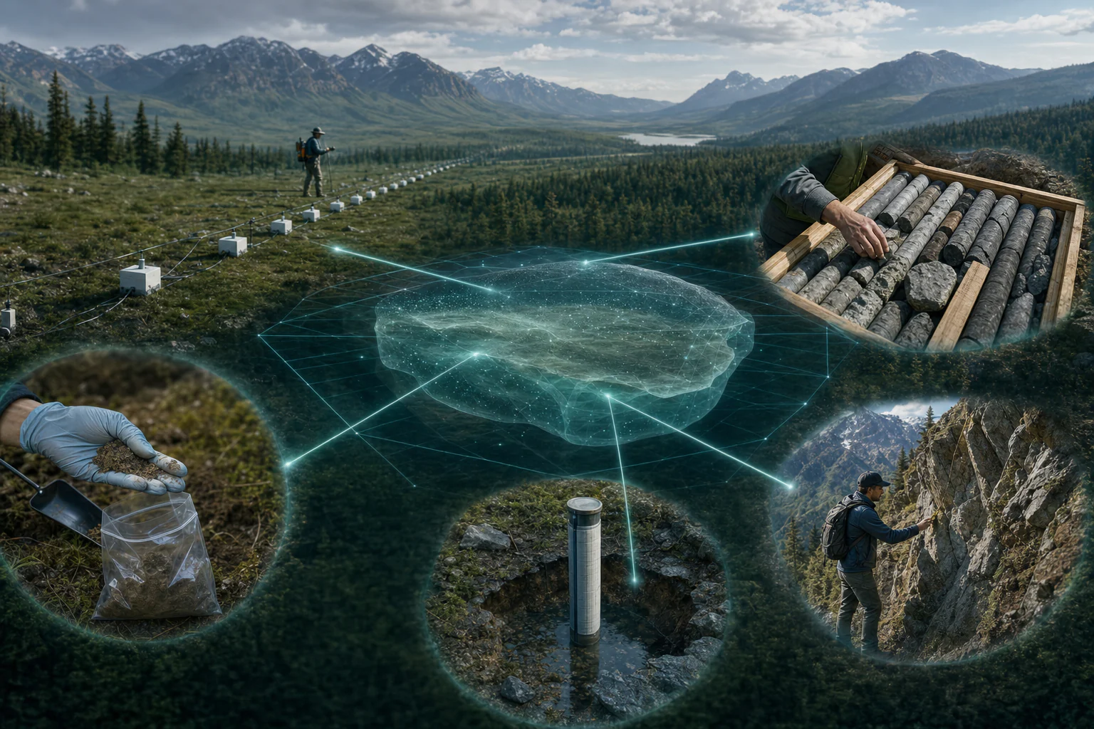
Every geophysical method has a measurement domain, sensitivity pattern, resolution, depth of investigation, processing chain, and set of assumptions. The output may look like a cross-section, but it remains a model or processed response. Confirmation connects that response to observed materials, water conditions, structures, properties, or behavior. It also exposes interpretations that were plausible from geophysics alone but inconsistent with direct or time-based evidence.
When it may be relevant
- Using geophysics to interpolate between sparse boreholes, wells, test pits, or exposures.
- Planning where direct investigation should be concentrated.
- Interpreting possible groundwater, weathering, fracture, karst, fill, utility, contamination, void, or stiffness contrasts.
- Tracking change through time where repeat-survey conditions and independent observations are available.
Useful information and inputs
- The physical property measured and the target condition expected to influence it.
- Raw or minimally processed data, acquisition geometry, positioning, units, instrument and software versions, and processing history.
- Coverage, sensitivity, uncertainty, residual, calibration, and depth-conversion information.
- Independent geology, boreholes, samples, water levels, chemistry, laboratory tests, survey control, and observations.
- The decision consequence and what type of confirmation would be sufficient to advance it.
How the method or assessment generally works
The interpreter first describes the measured or modeled feature without naming its cause: for example, an electrically conductive zone, a seismic-velocity gradient, or a radar reflector. Plausible causes are then listed and tested against acquisition quality, coverage, site context, method physics, and independent evidence. Locations where different explanations would lead to different decisions become confirmation priorities.
Confirmation should be designed before field work where practical. Boreholes and samples are positioned to test boundaries and alternatives rather than merely pass through the center of the most visually striking anomaly. Monitoring or repeat testing is used when the key question is change, seasonality, pumping response, or construction behavior.
Typical outputs
- Observed-response and interpreted-model figures kept visually distinct.
- Anomaly or feature register with stable identifiers and bounded locations.
- Plausible explanations, evidence for and against each, and method limitations.
- Data-confidence, interpretive-confidence, and decision-priority statements kept separate.
- Confirmation plan linking each action to the question it is intended to resolve.
How the outputs should be interpreted
A geophysical match is strongest when geometry, method physics, site context, and independent evidence agree within their respective resolution. Agreement between two methods is useful only if they provide genuinely independent physical information and share defensible positioning and scale. Disagreement is not automatically a failure; it can reveal time differences, scale effects, processing assumptions, or a conceptual model that needs revision.
QA/QC and evidence checks
- Preserve raw data and distinguish every edited, processed, inverted, interpreted, and annotated state.
- Verify survey identifiers, geometry, direction, coordinates, elevation or depth reference, units, and target location.
- Inspect data quality and coverage rather than accepting a clean image or low global error at face value.
- Document processing parameters, calibration, depth conversion, exclusions, and alternative models.
- Cross-check confirmatory records by date, location, interval, method, sample identity, and quality.
Limitations and common misunderstandings
Direct investigation is not perfect ground truth unless its own location, recovery, logging, sample quality, laboratory method, and timing are controlled. A borehole is also a point or narrow interval and may miss lateral features. Geophysics can extend spatial context but does not transform sparse direct evidence into certainty. Confirmation is therefore an iterative evidence-integration process, not a one-time label applied to a colored anomaly.
What may be needed for confirmation
- Geological or engineering-geological mapping and exposure logging.
- Boreholes, test pits, core or soil sampling, and laboratory testing.
- Water levels, pumping and recovery tests, water-quality sampling, or tracer and monitoring data.
- Survey monitoring, proof testing, utility records, construction exposure, or a second geophysical method.
What to prepare before contacting HydroGeo
- The decision and the interpretations that would change that decision.
- Original geophysical data, acquisition and processing records, and existing figures.
- All independent evidence with coordinates, depths, dates, units, and quality notes.
- Access, safety, schedule, and practical constraints on confirmatory work.
Project-planning reference
Evidence table and decision graph
Use these source-derived summaries to organize an enquiry and identify useful records. They are general guidance, not project data or a substitute for site-specific professional review.
Match the interpretation question to independent evidence
| Geophysical indication | Competing explanations | Useful confirmation | Decision boundary |
|---|---|---|---|
| Conductive electrical zone | Clay, saline or contaminated water, saturation, weathering, metal or cultural interference | Borehole log, sampling, water level, chemistry and a complementary method | Do not name the material or fluid from conductivity alone |
| Low seismic velocity | Loose soil, weathering, fractures, saturation effects, geometry or processing limits | Borings, SPT/CPT, core, density/moisture and repeat/complementary seismic evidence | Do not convert directly to strength or stability |
| Radar reflector or hyperbola | Material interface, discrete object, utility, moisture change or clutter | Known-depth calibration, utility records, potholing or controlled exposure | Do not assign depth without suitable velocity control |
| Time-lapse change | Hydrologic change, temperature, contact/coupling change, noise or processing difference | Repeat controls, rainfall/pumping records, sensors, sampling and monitoring | Do not treat every model difference as a physical change |
On a small screen, swipe the table sideways to review every column.
Source-derived relationship
An anomaly becomes useful through competing explanations
A four-stage path from a controlled anomaly through alternative explanations and independent checks to a bounded interpretation.
- Controlled anomalyRepeatable response inside defensible coverage
- AlternativesMultiple physical and site explanations retained
- Independent checksDirect observation or different physical property
- Bounded findingSupported meaning, residual uncertainty and next action
Source basis and use boundary
Agreement among methods is not automatically proof if the methods share assumptions, calibration data or processing artefacts. Independence and relevance must be reviewed.
- U.S. EPA — Surface Geophysical MethodsObjective-led method selection, physical-property targeting, depth-of-investigation controls, and convergence of independent methods.
- FHWA — Subsurface Investigation GuidanceSelection, planning, QA/QC, interpretation, and reporting for in-situ, geophysical, and laboratory characterization methods.
Primary sources reviewed 2 September 2026. Recheck the linked source and applicable project criteria before relying on current requirements.