
Published by HydroGeo Envi-Consultancy Services. Content updated .
Quick answer
A groundwater investigation can reduce uncertainty before drilling by organizing geology, landforms, structures, recharge and discharge features, nearby wells, water levels, water quality, remote sensing, and geophysics into a conceptual hydrogeological model. It can help rank conditional target areas and define a drilling and testing plan. It cannot guarantee that a borehole will encounter a productive aquifer, suitable water quality, or sustainable long-term yield.
What the topic means
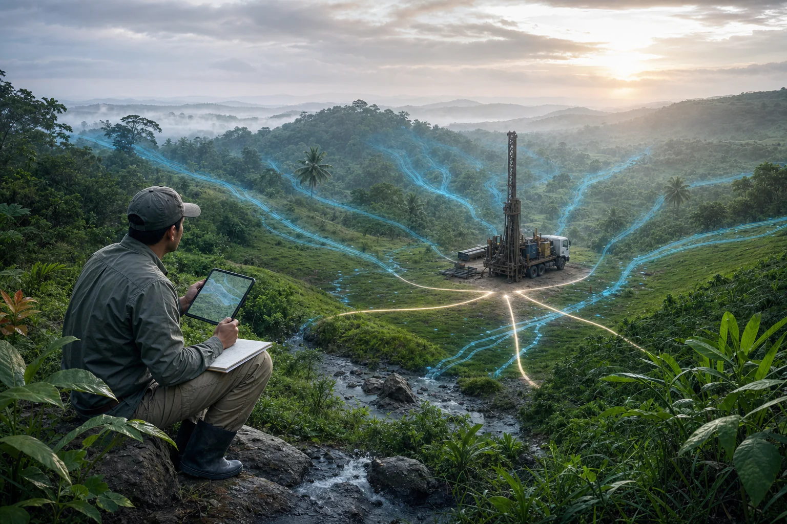
Groundwater occurs and moves through pores, fractures, weathered zones, and connected geological units under hydraulic gradients. The investigation asks how water may enter, be stored, move through, and leave the local system—and what evidence can test that understanding. Desktop information and surface geophysics provide indirect evidence. Drilling, logging, water-level observation, pumping tests, water-quality sampling, and monitoring provide progressively stronger confirmation.
When it may be relevant
- Planning a new water-supply, monitoring, dewatering, recharge, or investigation well.
- Reviewing why nearby wells differ in depth, performance, water level, or quality.
- Screening possible fracture, weathering, alluvial, or freshwater-saline-water contexts.
- Defining what information should be collected during drilling so the result can be evaluated properly.
Useful information and inputs
- The intended use, water demand, required reliability, project stage, and applicable permits or criteria.
- Site boundary, access, land ownership constraints, utilities, potential contaminant sources, and protected features.
- Geological, topographic, drainage, rainfall, remote-sensing, and hazard information.
- Nearby well records, drilling logs, depths, construction, screens, water strikes, water levels and dates, pumping history, and water-quality results.
- Previous geophysics, boreholes, springs, seepage observations, and seasonal or tidal context.
How the method or assessment generally works
The team defines the water decision first, then builds a conceptual model of potential aquifers, aquitards, recharge, discharge, boundaries, pathways, and risks. Evidence is mapped in a common coordinate and elevation framework. Geophysical surveys may be designed where the target is expected to produce a detectable physical-property contrast and where site access supports defensible coverage.
Potential targets are ranked using project-specific evidence, access, depth reach, contamination or salinity risk, drilling feasibility, independent agreement, and disqualifiers. Any proposed collar and depth window remains conditional. The drilling plan should specify logging, sampling, water-level measurement, provisional completion decisions, test requirements, stop or extension criteria, and how findings will update the model.
Typical outputs
- Conceptual hydrogeological map and section.
- Evidence and nearby-well inventory with quality limitations.
- Ranked conditional target areas or drilling windows, without a promised yield.
- Drilling, logging, sampling, development, testing, water-quality, and monitoring plan.
- Risk notes for salinity, contamination, well interference, access, or incomplete evidence.
How the outputs should be interpreted
A target means the available evidence supports testing that location or interval; it does not mean water quantity or quality is confirmed. A drilling water strike records water entering the borehole under the conditions at that time, but it is not the same as tested well performance. An airlift response or short pumping observation is not sustainable yield. Resistivity or other geophysical responses remain non-unique and need drilling, hydraulic, and water-quality correlation.
QA/QC and evidence checks
- Confirm coordinate system, elevation and measuring-point references, units, dates, and well identifiers.
- Separate reported, observed, measured, tested, interpreted, and assumed information.
- Check whether nearby well records are complete, comparable, and representative of the same hydrogeological setting.
- Record geophysical geometry, coverage, inversion or processing limitations, and alternative causes.
- Plan baseline water levels, calibrated flow measurement, discharge management, sample custody, and laboratory requirements before testing.
Limitations and common misunderstandings
Groundwater is not an underground river that can always be located as a single line. A favorable regional setting does not guarantee a productive well at one point. Deeper drilling does not necessarily produce more or better water. Water quality may vary by depth and time, and a successful short test may not represent seasonal or long-term performance. The investigation should reduce and expose uncertainty rather than replace it with a false success percentage.
What may be needed for confirmation
Confirmation normally progresses through controlled drilling and geological logging, borehole geophysics where suitable, depth-specific sampling, water-level measurements, well development, step-drawdown and constant-rate testing, recovery observation, water-quality analysis, and longer-term monitoring. The actual borehole evidence should be used to revise screen, casing, depth, and test decisions.
What to prepare before contacting HydroGeo
- The intended water use and approximate demand, without placing confidential details in a public enquiry.
- A site plan showing accessible areas, utilities, waste or chemical sources, surface-water features, and nearby wells.
- Any available drilling logs, well-completion records, water levels, tests, water-quality results, maps, and previous geophysics.
- Schedule, access, permitting, discharge, power, and equipment constraints relevant to drilling and testing.
Project-planning reference
Evidence table and decision graph
Use these source-derived summaries to organize an enquiry and identify useful records. They are general guidance, not project data or a substitute for site-specific professional review.
What pre-drilling evidence can clarify
| Evidence | Planning value | Useful follow-up | Still unconfirmed |
|---|---|---|---|
| Regional geology and structures | Frames plausible aquifer materials and flow pathways | Field mapping and targeted geophysics | Whether a productive water-bearing zone exists at the point |
| Terrain, drainage and springs | Shows recharge/discharge context and access constraints | Seasonal verification and survey control | Subsurface continuity or long-term reliability |
| Existing wells and water levels | Provides nearby construction, depth and hydraulic context | Verify records, dates, reference elevations and pumping status | Transferability to the proposed well |
| Surface geophysics | Maps physical-property contrasts that may guide drilling | Correlate with geology and existing boreholes | Aquifer identity, yield or potability |
| Drilling, logging and testing | Directly observes penetrated materials and hydraulic response | Well development, pumping/recovery and water-quality sampling | Long-term performance beyond the test conditions |
On a small screen, swipe the table sideways to review every column.
Source-derived relationship
Progressive groundwater evidence before a well decision
A staged groundwater workflow from desk evidence through field screening and drilling to hydraulic and water-quality confirmation.
- Desk evidenceGeology, terrain, drainage, wells and constraints
- Field screeningMapping, levels, springs and fit-for-purpose geophysics
- Drilling evidenceCuttings/core, logs, construction and water strikes
- ConfirmationDevelopment, pumping/recovery, monitoring and chemistry
Source basis and use boundary
No desktop or surface-geophysical workflow can guarantee groundwater occurrence, drilling depth, yield, sustainability or water quality at a proposed point.
- USGS — Application of Surface Geophysics to Ground-Water InvestigationsRole of surface geophysical measurements in groundwater investigation and the need to relate physical-property responses to hydrogeologic evidence.
- USGS — Borehole Geophysics Applied to Ground-Water InvestigationsWell construction, rock and fluid responses, calibration, investigation volume, extraneous effects, and hydrogeologic interpretation.
Primary sources reviewed 2 September 2026. Recheck the linked source and applicable project criteria before relying on current requirements.