HydroGeo Envi-Consultancy Services

Ground intelligence for decisions that hold up.

HydroGeo consultancy services providing evidence-led geoscience and technical support for civil, water, environmental, energy, mining, and land-development decisions across the Philippines.

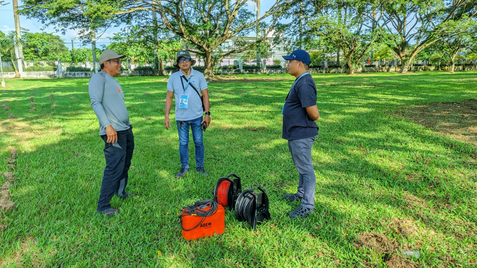
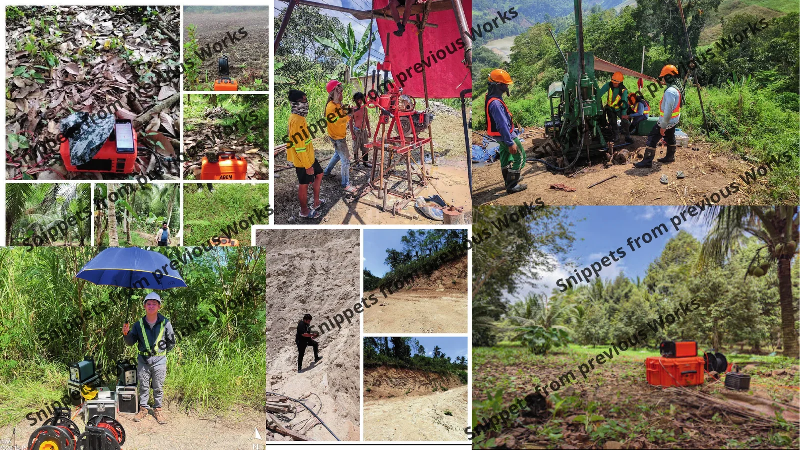
Field evidenceActual HydroGeo activity
HydroGeo personnel preparing electrical resistivity equipment during field testing
Geophysical field setupSite observations before interpretation
2023
Established
31
Completed engagements
PRC-led
Geoscience leadership
Malaybalay
Philippine base
Explore the terrain

01 / Services

Technical services built around the decision in front of you.

Each scope is shaped around the site question, available evidence, technical risk, and the review required to use the result responsibly.

Each service page keeps the suitable situations, useful inputs, methods, typical outputs, and professional limits visible without another click.

02 / Selected projects

Completed work, shown with the right level of discretion.

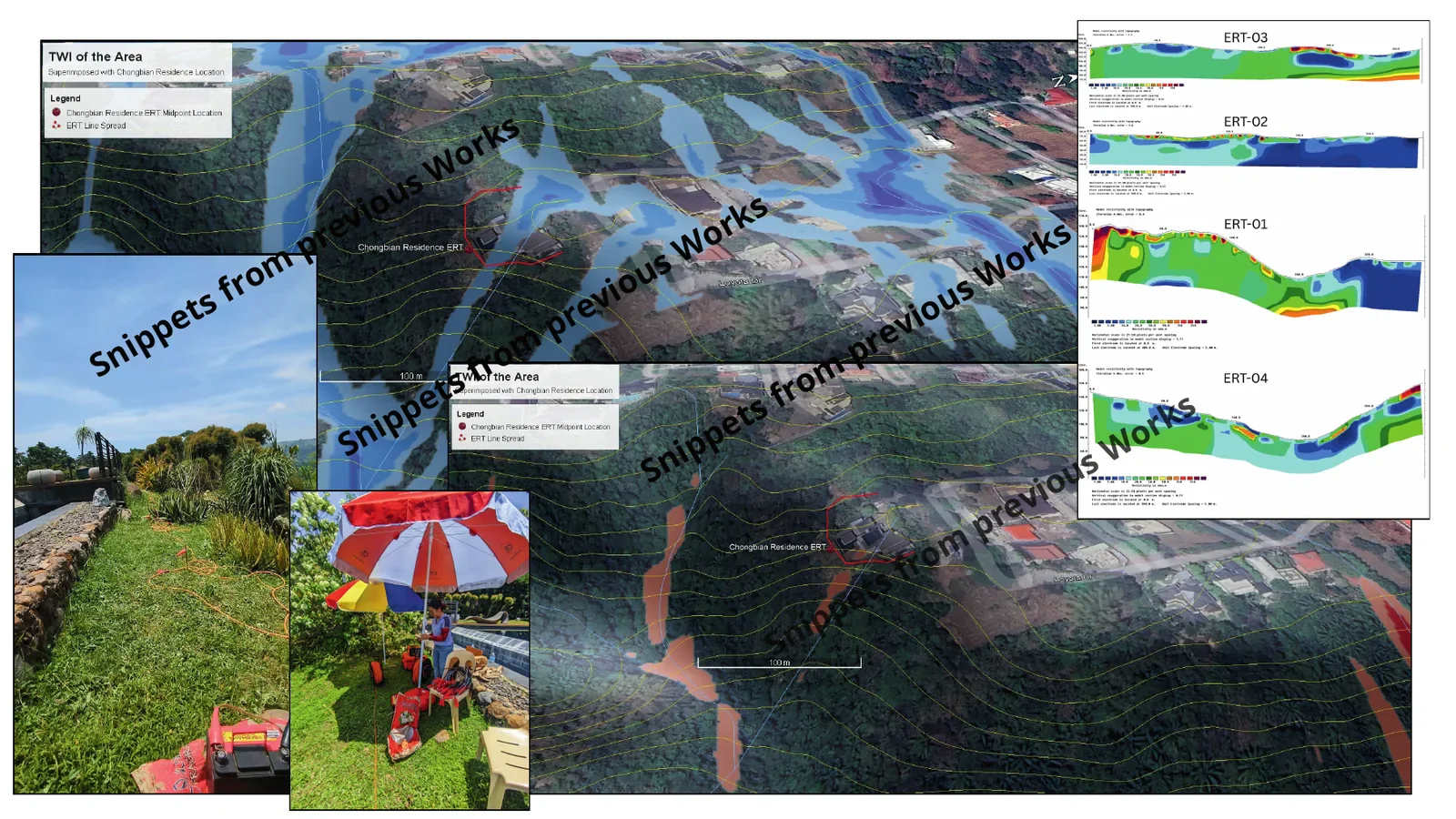
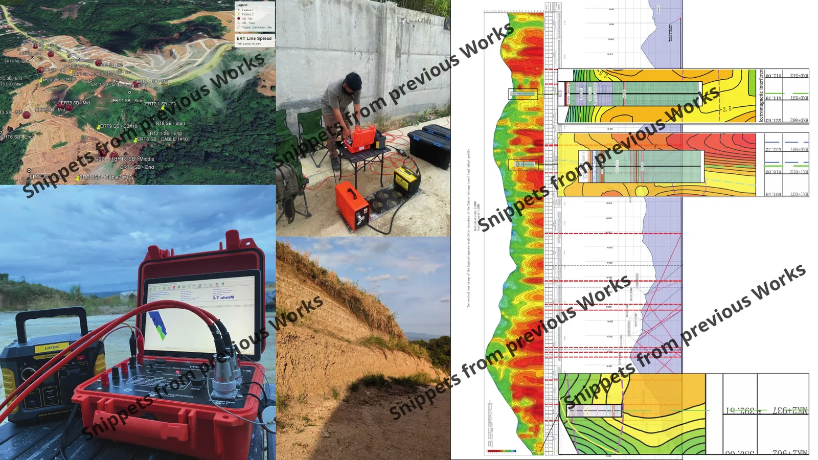
Client and site identities are not published. Entries communicate scope and delivery category only; they do not disclose confidential records or project-specific results.

31 completed engagements: 4 featured cases and 27 additional project entries.

View all 31 project entries

Geophysical interpretations refer to inferred conditions and require geological, borehole, sampling, pumping-test, or monitoring confirmation where applicable.

03 / Field to decision

From the condition on the ground to a decision-ready technical output.

HydroGeo keeps observations, data quality, interpretation, and limitations distinct so the project team can see the basis for the next step.

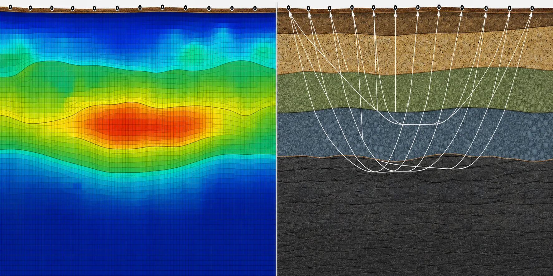
Illustrative conceptual sections of a field profile shown through electrical resistivity and seismic response lenses
Illustrative conceptual model—not measured project data.
  1. 01Illustrative Filipino project team framing a site decision before an investigationIllustrative scene

    Frame the decision

    Clarify the question, decision stage, available evidence, site constraints, and the level of review required.

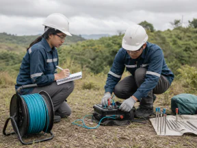
  2. 02Illustrative Filipino field team checking equipment and documenting site evidenceIllustrative scene

    Build and check the evidence

    Plan or organize field, laboratory, geospatial, and project information so QA/QC and evidence gaps remain visible.

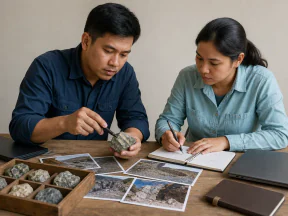
  3. 03Illustrative Filipino geoscience team comparing field notes, photographs, and rock samplesIllustrative scene

    Interpret with context

    Connect geology, groundwater, geotechnics, and geophysics while keeping observations, inferences, and alternatives distinct.

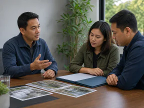
  4. 04Illustrative Filipino consultant briefing project representatives on the next actionIllustrative scene

    Deliver the next action

    Structure findings, limitations, and follow-up needs into clear technical outputs for the project team.

01

Evidence before assertion

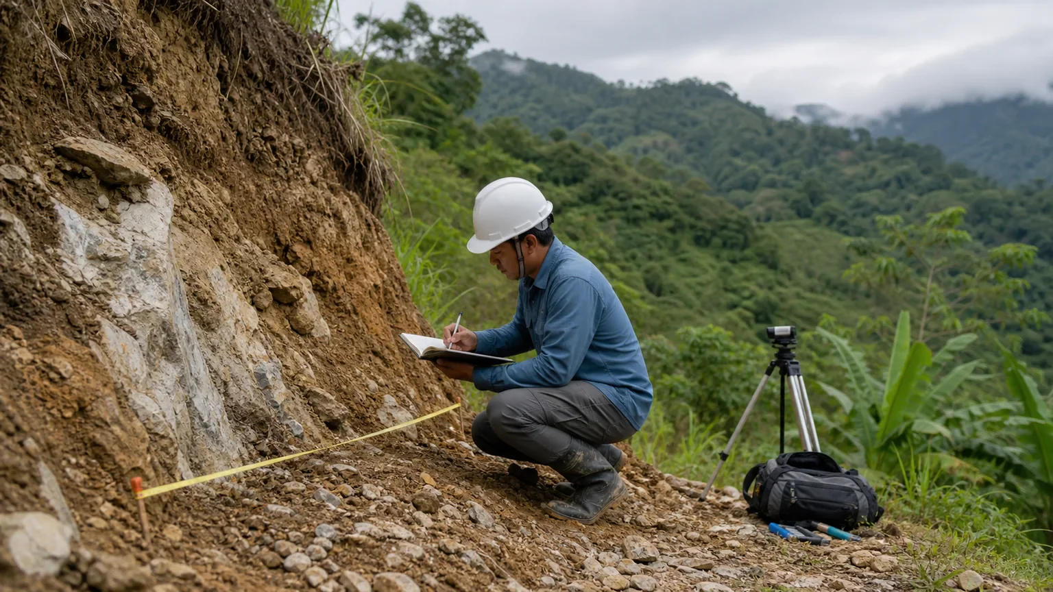
Observations, assumptions, and inferences are not presented as the same thing.

Illustrative field geoscientist documenting ground conditions beside an exposed slope
Field evidence
02

Quality made visible

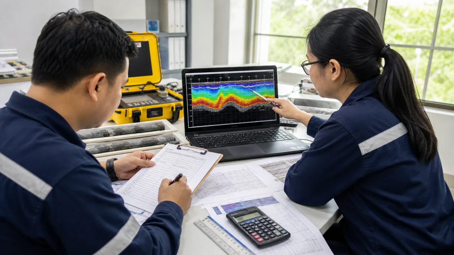
Data gaps, QA/QC context, and required confirmation are communicated clearly.

Illustrative technical team reviewing field records and a geophysical data display
Visible quality checks
03

Outputs made usable

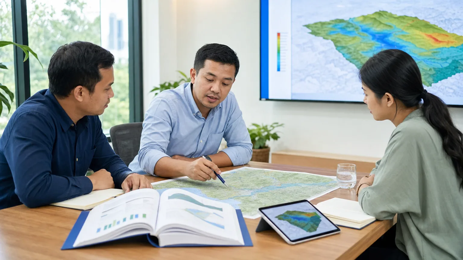
Maps, figures, and reports are structured for practical review and downstream use.

Illustrative project meeting reviewing terrain maps and technical outputs
Decision-ready outputs

04 / About and team

A focused practice with the support each scope requires.

HydroGeo is led from Malaybalay City, Philippines and brings together the people needed to match each project question.

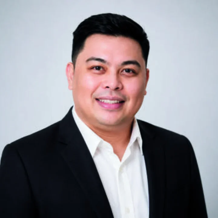
Presentation-enhanced portrait of Lloyd Kenneth Calapan, HydroGeo principal consultant

Principal consultant

Lloyd Kenneth Calapan

Presentation-enhanced portrait.

Proprietor / Technical Lead

Primary scopes

  • Engineering geology
  • Geophysics
  • GIS and spatial analysis
  • Technical integration and reporting

Swipe sideways, use the controls, or use the horizontal scrollbar to review every team card.

Team member 1 of 5

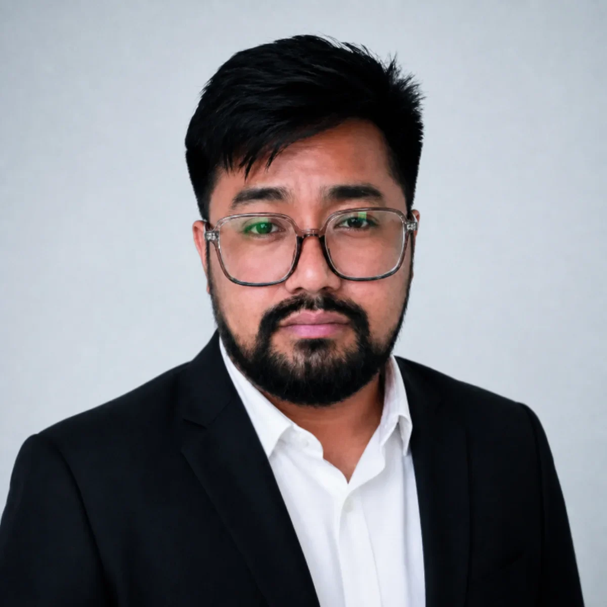
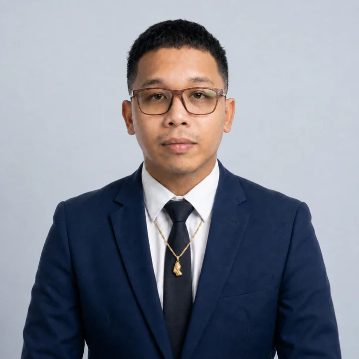
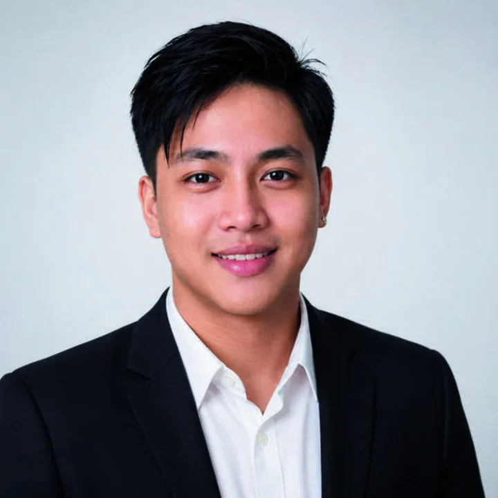
Portrait of Paolo K. Diares

Team member

Paolo K. Diares

Geologist / Mining and Exploration

Scope

  • Mining and exploration geology
  • Geological data acquisition
  • Mining compliance and regulatory context
  • Nickel, gold, and multi-commodity exploration
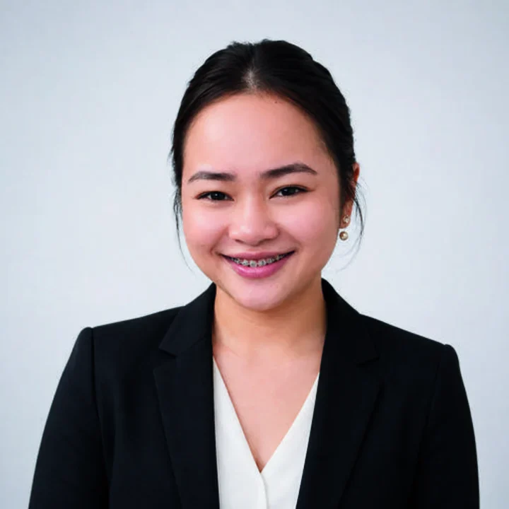
Portrait of Engr. Bellelyn Cabresos

Team member

Engr. Bellelyn Cabresos

Civil Engineer / Hydrologist

Scope

  • Hydrology
  • Drainage and hydraulics
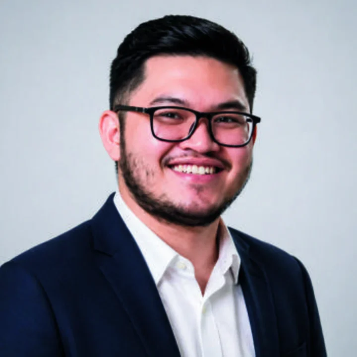
Portrait of Jonel Dalona

Team member

Jonel Dalona

Geologist / On-call Driller

Scope

  • Geotechnical field investigation
  • Borehole drilling
Portrait of Engr. John Shoon

Team member

Engr. John Shoon

Field Driller

Scope

  • Geotechnical field investigation
  • Borehole drilling
Portrait of Melven Tampus

Team member

Melven Tampus

Field Associate / Equipment Operator

Scope

  • Field operations
  • Survey and equipment support

Team participation is confirmed according to scope, availability, technical requirements, and the appropriate review path. Detailed responsibilities remain available on the team page; appointments are confirmed during project scoping.

Meet the team

05 / Selected insights

Practical context before the project discussion.

These governed explainers separate measurement, interpretation, confirmation, and professional limits so visitors can prepare a better-grounded enquiry.

View all technical insights

06 / Project brief and contact

Bring us the site question. We will help define the investigation.

Start with the decision, the site, the records already available, and the timing that matters. Your brief enters HydroGeo's secure inquiry queue for human review. The site stores an accepted brief before requesting a data-minimized receipt containing only its reference number; technical replies still require qualified human review.

Decision or concernProject locationAvailable recordsSchedule and access
HydroGeo Envi-Consultancy Services+63 961 605 4355+63 976 022 3930WhatsApp +63 961 605 4355Malaybalay City, Philippines
Visit HydroGeo on FacebookSee field updates and company news

Secure online submission uses Cloudflare Turnstile to help prevent automated abuse. If the security check is unavailable, prepare the brief in email, copy it, or use the telephone options. Do not include passwords, payment information, or highly sensitive personal records. Email HydroGeo to request correction or deletion of a stored inquiry.

LiDAR, GIS and Remote Sensing has been selected for this project brief.