
Quick answer
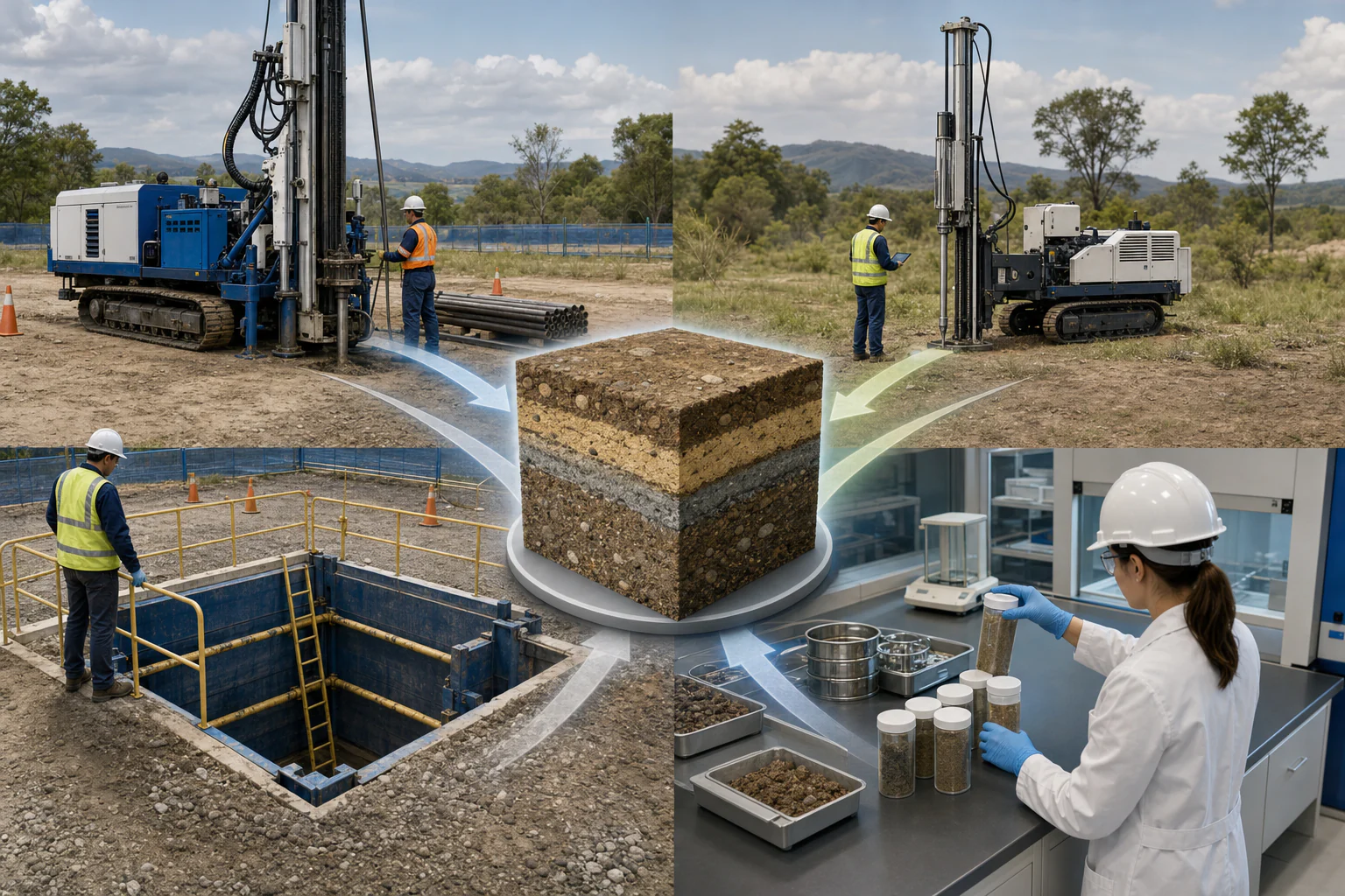
SPT, CPT, test pits, and laboratory tests answer different parts of a site-characterization problem. SPT provides a disturbed sample and a penetration-resistance index at discrete depths. CPT produces near-continuous cone-resistance, sleeve-friction, and—where instrumented—pore-pressure measurements but usually no recovered sample. Test pits expose shallow ground directly. Laboratory tests measure properties of selected specimens under controlled methods. A defensible investigation combines methods according to geology, depth, variability, proposed works, and the decision.
What the topic means
Site characterization is the process of describing ground and groundwater conditions well enough to support a defined project stage. No single test directly provides every design input. Field observations, drilling, sampling, in-situ tests, laboratory tests, groundwater monitoring, geophysics, and performance history are integrated into a ground model. Test results remain measurements or indices from their methods; converting them to design parameters requires interpretation, corrections, representativeness, uncertainty, and qualified review.
When it may be relevant
- Buildings, bridges, roads, subdivisions, retaining structures, excavations, embankments, slopes, and industrial facilities.
- Projects needing foundation, settlement, earthwork, retaining, groundwater, seismic, or construction-stage information.
- Sites with fill, soft soil, variable alluvium, weathered rock, karst, slopes, groundwater, or previous disturbance.
- Reviewing whether an existing investigation is adequate for a changed layout, load, depth, or design stage.
Useful information and inputs
- Proposed structures, loads, foundation or earthwork concepts, excavation depths, project stage, and consequence.
- Geology, terrain, drainage, land-use history, previous fill, nearby investigations, and existing performance.
- Investigation coordinates and elevations, drilling and sampling methods, groundwater observations, and sample custody.
- SPT equipment and energy information, CPT system and calibration, test-pit support and safety, and laboratory standards or methods.
- The parameters, mechanisms, and uncertainty that the investigation is intended to resolve.
How the method or assessment generally works
Investigation locations and depths are selected from the proposed works, stress influence, plausible failure mechanisms, geology, groundwater, lateral variability, access, and construction sequence. Boreholes allow deeper sampling, logging, groundwater observation, and SPT or rock coring. CPT provides rapid continuous profiling where penetration is feasible. Test pits provide direct shallow exposure and bulk-sampling opportunities but have depth, stability, groundwater, access, and safety limits. Laboratory tests are selected for the materials and project questions, with specimen quality and stress or drainage conditions considered.
The results are correlated in a common ground model rather than treated as interchangeable numbers.
Typical outputs
- Investigation plan and coverage rationale.
- Borehole and test-pit logs, SPT records, CPT profiles, groundwater records, and sample register.
- Laboratory certificates, raw or reduced results, curves, quality notes, and specimen descriptions.
- Geological and engineering-unit interpretation with variability and data gaps.
- Parameter context, design dependencies, confirmation tests, and construction hold points for professional review.
How the outputs should be interpreted
SPT blow counts are method-dependent indices and may require documented corrections before specific correlations are considered. CPT classifications and parameters are interpretations from measured cone response and depend on method, stress state, pore pressure, soil behavior, and calibration. Test-pit descriptions are direct but shallow and local. Laboratory results apply to the tested specimen and preparation. Agreement across methods strengthens a model only when location, depth, units, timing, and method limitations are reconciled.
QA/QC and evidence checks
- Verify investigation IDs, coordinates, elevation and depth references, units, dates, equipment, calibration, and operator records.
- Check drilling disturbance, sample recovery and quality, sampler type, SPT procedure and energy basis, CPT zero drift and pore-pressure response, and test-pit support conditions.
- Link every laboratory result to the correct sample, interval, specimen condition, method, units, and certificate.
- Separate measured, corrected, derived, correlated, assumed, adopted, and design values.
- Review coverage against the proposed works and investigate conflicting or unrepresentative results rather than averaging them blindly.
Limitations and common misunderstandings
A greater number of tests does not automatically produce representative coverage. SPT is discrete and sample quality is limited; CPT may refuse in gravel, very dense ground, rock, or obstructions and does not normally recover a sample. Test pits are shallow and can be unsafe or impractical in unstable or water-bearing ground. Laboratory samples may be disturbed or may not capture field-scale structure. Generic correlations are screening tools unless their applicability is established for the project.
What may be needed for confirmation
Additional boreholes, CPTs, test pits, geophysics, laboratory testing, groundwater monitoring, plate or proof testing, rock coring, downhole testing, or construction-stage inspection may be needed. Final foundation, settlement, retaining, slope, seismic, earthwork, and groundwater decisions require adopted criteria, complete design inputs, independent checks, and the appointed qualified professional.
What to prepare before contacting HydroGeo
- Latest project layout, structure or earthwork geometry, design stage, and investigation questions.
- Existing logs, laboratory reports, coordinates, survey control, groundwater data, geology, and previous performance information.
- Access, overhead and buried utilities, traffic, working space, spoil, environmental, and safety constraints.
- Required deliverables, schedule, applicable project criteria, and the professional interfaces that will use the results.
Project-planning reference
Evidence table and decision graph
Use these source-derived summaries to organize an enquiry and identify useful records. They are general guidance, not project data or a substitute for site-specific professional review.
How common site-characterization methods complement one another
| Method | Evidence obtained | Continuity or coverage | Key QA/QC and limitation |
|---|---|---|---|
| SPT in a borehole | Penetration resistance, disturbed sample and borehole log context | Discrete depth intervals at one location | Energy/equipment/procedure, borehole condition, sample recovery and corrections |
| CPT | Near-continuous cone resistance, sleeve friction and optional pore-pressure response | Continuous sounding profile without routine sample recovery | Equipment calibration, saturation, verticality, refusal and interpretation correlation |
| Test pit | Direct shallow exposure, bulk sampling and field observation | Local shallow window with lateral visibility | Excavation safety, groundwater, disturbance and limited depth |
| Laboratory testing | Specimen index, classification, strength, compressibility or hydraulic response | Only the selected specimen and test condition | Sample quality, preparation, method, stress/drainage state and representativeness |
| Geophysics | Between-point physical-property trends and anomalies | Profiles or volumes with method-dependent resolution | Non-uniqueness, coverage, calibration and intrusive confirmation |
On a small screen, swipe the table sideways to review every column.
Source-derived relationship
Site characterization is an evidence network
A four-stage graph from field observations and in-situ tests through sampling and laboratory work to correlation and the project ground model.
- Field contextMapping, borings, pits, groundwater and observations
- In-situ responseSPT, CPT and other tests under controlled procedures
- Sample evidenceDescription, classification and laboratory behaviour
- Ground modelCorrelated units, variability, gaps and design dependencies
Source basis and use boundary
No single method is universally sufficient. Test selection, spacing, depth, sampling and laboratory program must follow the proposed works, ground variability and applicable design questions.
- FHWA — Geotechnical Site Characterization (FHWA-NHI-16-072)Planning and combining borings, in-situ tests, laboratory testing, groundwater observations, geophysics, parameters, and subsurface models.
- FHWA — Subsurface Investigation GuidanceSelection, planning, QA/QC, interpretation, and reporting for in-situ, geophysical, and laboratory characterization methods.
Primary sources reviewed 2 September 2026. Recheck the linked source and applicable project criteria before relying on current requirements.