
Quick answer
A hazard map is valuable for early screening: it shows whether a site may intersect a mapped hazard zone and helps identify questions for planning. A site-specific assessment examines the actual landform, geology, slope, drainage, history, proposed works, and evidence at the project scale. The two are complementary, but a map lookup alone cannot confirm that a particular footprint is safe, unsafe, buildable, or free from an unmapped condition.
What the topic means
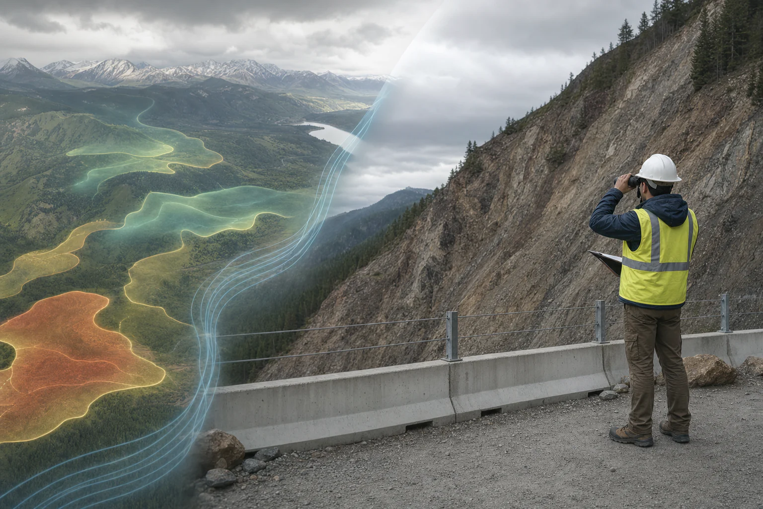
Regional and municipal hazard maps generalize information for a defined scale, data vintage, mapping method, and hazard type. They may represent susceptibility, scenario-based intensity, modeled extent, or mapped observations. A site assessment narrows the question to a property, corridor, slope, structure, or development decision. It checks map provenance and scale, then adds field observations, higher-resolution terrain, historical evidence, subsurface information, groundwater and drainage context, and the geometry of proposed works.
When it may be relevant
- Early site selection, due diligence, land-use planning, route screening, or project scoping.
- Sites near mapped landslide, flood, fault, liquefaction, erosion, karst, volcanic, coastal, or other hazard contexts.
- Projects where cutting, filling, loading, drainage change, excavation, or vegetation removal could alter site behavior.
- Situations where field observations appear inconsistent with a desktop map or where the map scale is too coarse for the decision.
Useful information and inputs
- Project boundary, proposed layout, structures, earthworks, occupancy, project stage, and decision being supported.
- Authoritative hazard-map source, edition or access date, scale, legend, method, and stated limitations.
- Current and historical topography, imagery, drainage, geology, land use, and records of previous events or repairs.
- Field photographs and observations of cracks, scarps, bulging, erosion, seepage, blocked drainage, rockfall, settlement, or ground disturbance.
- Boreholes, test pits, laboratory tests, groundwater observations, survey monitoring, and previous assessments where available.
How the method or assessment generally works
Screening begins by identifying the correct map and understanding what its classes actually mean. The site is located in the proper coordinate reference, and the project footprint is compared with hazard layers, terrain, drainage, nearby events, and relevant infrastructure. A field assessment then checks landforms, materials, structures, surface water, groundwater indicators, existing cuts and fills, defects, and the relationship between possible source, travel, and deposition areas.
Where the consequence or uncertainty warrants it, the work may progress to detailed survey, subsurface investigation, monitoring, slope or hydraulic analysis, seismic or geotechnical assessment, and option-specific mitigation review.
Typical outputs
- Map-source and limitation register.
- Site and surrounding-terrain screening map.
- Field-observation plan, photographs, and evidence summary.
- Possible hazard mechanisms and affected project elements, clearly identified as screening or assessment.
- Prioritized confirmation, avoidance, layout-review, drainage, monitoring, or detailed-analysis needs.
How the outputs should be interpreted
A susceptibility class describes relative predisposition under the map’s method; it is not automatically an annual probability, factor of safety, or project risk. Hazard, exposure, vulnerability, consequence, and risk are different concepts. A site outside a mapped zone may still contain local conditions below the map’s scale or absent from its source data. Conversely, a site inside a broad mapped zone requires closer assessment rather than an automatic site rejection.
QA/QC and evidence checks
- Verify the map producer, title, date, scale, coordinate reference, legend, hazard definition, and methods or limitations.
- Check that the site has not been located using an approximate pin, outdated boundary, or incompatible basemap.
- Compare different dates of imagery and terrain where development, erosion, filling, or previous events may have changed the site.
- Separate observed features from interpreted mechanisms and future scenarios.
- Record field coverage, inaccessible areas, seasonal conditions, and evidence that supports or contradicts each interpretation.
Limitations and common misunderstandings
Map boundaries are not survey-accurate property boundaries. A colored zone does not by itself provide design values or demonstrate present stability. Field reconnaissance cannot see every subsurface condition. A numerical stability or flood model is also only as defensible as its geometry, parameters, boundary conditions, groundwater or rainfall scenarios, calibration, and professional review.
What may be needed for confirmation
Confirmation may involve detailed topographic survey, engineering-geological mapping, boreholes, test pits, laboratory testing, groundwater monitoring, crack or deformation monitoring, LiDAR review, hydrologic or hydraulic analysis, geophysics, slope analysis, or construction-stage observation. The confirmation should match the plausible mechanism and the decision consequence.
What to prepare before contacting HydroGeo
- The exact project boundary and current concept layout in an identifiable coordinate system.
- The intended development, cuts, fills, drainage changes, retaining works, and project stage.
- Links or copies of the hazard maps already consulted and any previous technical reports.
- Photographs, event history, observed ground or drainage concerns, and known access constraints.
Project-planning reference
Evidence table and decision graph
Use these source-derived summaries to organize an enquiry and identify useful records. They are general guidance, not project data or a substitute for site-specific professional review.
Regional screening and site assessment serve different decisions
| Question | Regional hazard screening | Site-specific assessment | Decision control |
|---|---|---|---|
| Purpose | Identify mapped susceptibility or exposure requiring attention | Examine the site's actual materials, geometry, processes and proposed works | Use screening to trigger—not replace—further review |
| Scale | Agency layer and mapping scale | Project footprint, slopes, drainage, structures and field observations | Check whether the source scale fits the decision |
| Time | Reflects the layer's source date and update cycle | Can record current changes, construction and recent events | Verify currency and changed conditions |
| Uncertainty | Boundary and layer mismatch may occur | Observation coverage and model assumptions remain explicit | Preserve both mapping and site-investigation limits |
| Output | Indicative hazard context | Evidence-based project findings and actions within the agreed scope | Obtain mandated-agency documents where officially required |
On a small screen, swipe the table sideways to review every column.
Source-derived relationship
How a hazard-map result should progress
A four-stage pathway from regional hazard layers through scale and currency checks to field assessment and project action.
- Map screeningAgency layers and indicative report
- Applicability checkLocation, scale, date, boundary and scenario reviewed
- Site assessmentField evidence, terrain, drainage, materials and proposed works
- Project actionFurther investigation, mitigation review or agency request
Source basis and use boundary
This comparison does not reclassify any property or reproduce an agency hazard map. Current official layers and any required agency assessment must be checked for the actual site.
- GeoRiskPH — HazardHunterPH Methods and LimitationsIndicative multi-hazard screening, agency-source layers, data currency, spatial mismatch, scenario limits, and field-verification needs.
- DENR-MGB — Geohazard MapsRegional flood and rain-induced-landslide susceptibility information for screening and planning context.
Primary sources reviewed 2 September 2026. Recheck the linked source and applicable project criteria before relying on current requirements.